Stage 9 · Ohiya
Bogawantalawa ⇌ Dayagama
- Distance
- 17.13 km (10.64 mi)
- Duration
- 4 hours
- Difficulty
- Difficult
- Elevation gain
- 734 m
- Max elevation
- 1,657 m
- People interaction
- Low
- Family friendly
- No
- Status
- Open
About this stage
STAGE IS OPEN – signage is in place and trail conditions are actively monitored.
TRAIL PASS: Now mandatory to walk this stage and can be purchased online at https://members.thepekoetrail.org/passes/create. Pekoe Trail Members are not required to buy a pass. If you would like to explore membership opportunities https://members.thepekoetrail.org
Due to changing weather conditions in the Central Highlands, hikers are advised to exercise extra caution on this stage. Trails may be slippery with reduced visibility and sudden rainfall.
IMPORTANT NOTE: The stage is walkable and signposted. Look out for orange circles with a white arrow for directional signs and just the orange circle for way markers. Trail users are advised to consider all the information available and to heed local advice when available. The services of a professional trail guide is recommended. Trail users are responsible for all decisions as to the trail routes, trail conditions, weather, and safety. In addition to the hazards posed by steep terrain and mountain weather, hikers should be prepared for difficult route-finding and challenging trail conditions, dogs, leaches, heavy rain, intermittent thunderstorms, and plenty of sun. It is recommended to drink plenty of water when hiking. Access to emergency medical care and rescue is not always immediately available. Please ensure to carry your essential requirements such as, but not limited to, water, medicines, rations, and a raincoat with you at all times.
Please download the latest version of the map before navigating the stage to avoid missing out on any re-routing.
-----------------
DESCRIPTION OF THE STAGE
Today’s stage starts in Bogawantalawa, the bustling town that gives name to the entire valley. The village of Bogawantalawa sits at an elevation of 1279 meters and is surrounded by tea estates and mountains shrouded in mist and emerald landscapes. The Bogawantalawa Valley is home to many legendary tea estates – all well known in Sri Lanka – such as Norwood, Kotiyagala, Tientsin, Kew, and Loirnon, the latter wedged between Peak Wilderness and the Horton Plains National Park.
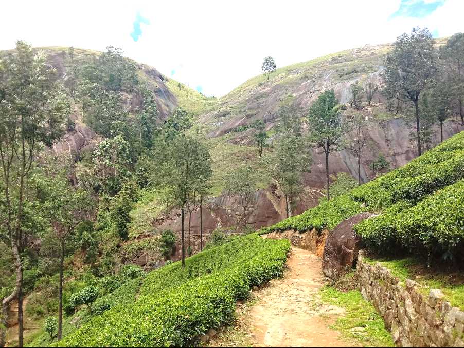
We leave Bogawantalawa town heading northwest towards the Bogawana Tea Factory visible in front of us. At the 900 meter point, we pass the Bogawana Tea Factory leaving it on our left-hand side. A hundred meters later the road forks into 3 possible tracks – take the middle one. The middle track curves around the side of the hill towards the Lynstead division. Look up and you will see a rocky ‘v’ shaped mountain pass ahead of you called the “Jacobs Ladder”.
Leaving the Lynstead Superintendents bungalow behind us at the 3 km point we proceed to the base of Jacob’s Ladder. A well-marked narrow path zig-zags up towards the pass. It’s a relatively easy ascent if the weather is dry; in the rain, the rock may be a bit slippery so watch your step. There is a wonderful sense of anticipation as you ascend up the narrow footpath toward the gap. Bogawantalawa town and the upper divisions of the Kotiyagala Estate are visible behind you.
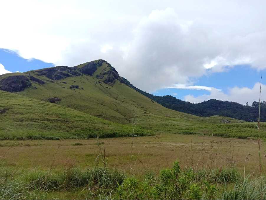
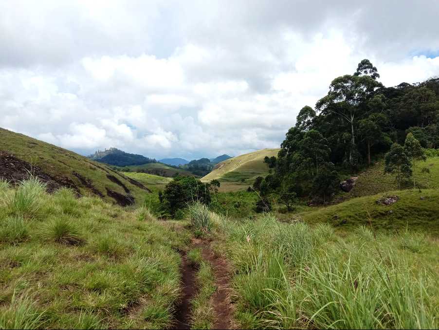
Walking over and through the gap is exhilarating; it feels like a gateway to another world, and indeed it is. The landscape is completely different from that of the valley we just left behind. The hustle and bustle of the tea plantations surrounding Bogawantalawa town give way to undisturbed grasslands and hills and one single path ahead of you. The name of this hidden valley is Bopaththalawa. Our elevation is now 1584 meters.
There are two unmarked camping sites on the foothills of Haritha mountain – the mountain on your left, looking west. If you ever decided to camp here it is imperative that you clean up – please leave only footprints.
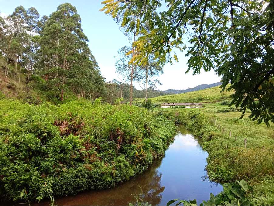
Follow the path for 1 km and soon you will reach the Manik Palama Farm, one of the two dairy farms in the valley. Here the track turns into a country road that weaves its way through the farm. All the grass you see is cultivated to feed the odd 1000s cows they have at the farm on-site.
At the 7.3 km point, we pass a few houses and keep heading northeast. The right side of the road is now forested. At the 9 km point, we leave the NLDB Circuit Bungalow on our left and keep going. At the 10.4 km point, we dog-leg east towards Bopaththalawa Farm, the other dairy farm in the valley – the one that gives it its name. At the 11.4 km point, we pass by the cowsheds and then a couple of homes surrounded by vegetable gardens. Then we enter the forest.
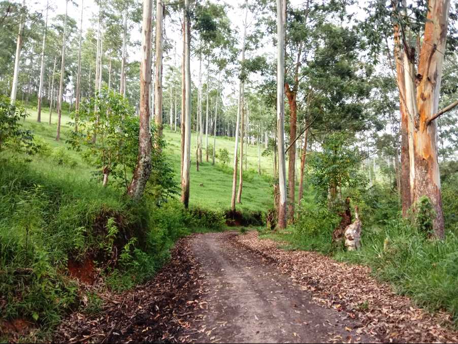
The next two kilometers are a gradual ascent on a forest track. Most of the trees are eucalyptus trees, planted to supply firewood for the surrounding tea factories. When walking through a forested area like this it is advisable to make noise – clap, sing, or talk loudly, and to avoid going off-route if nature calls. At the 14 km point, the forest track resolves into a small village. You have just stepped into the Agarapatna Valley, one of the most remote and inaccessible valleys in the Tea Country. Turn left/northbound and follow the road down to Dayagama Town. Today’s stage ends here, at an elevation of 1417 meters. We walked 16.4 km.
PLEASE TAKE ALL YOUR RUBBISH WITH YOU AND IF YOU SEE ANY RUBBISH OTHERS LEFT BEHIND TRY TO TAKE IT - EVEN IF JUST A BOTTLE OR A PLASTIC BAG, EVERY BIT COUNTS - THANK YOU.
The Pekoe Trail is designed to support development and livelihoods in rural areas of Sri Lanka. Buying goods and services from local businesses helps communities along the trail to thrive.
Stage head to end elevation

Gallery
.png)