Stage 7 · Hatton
Kotagala ⇌ Norwood
- Distance
- 16.48 km (10.24 mi)
- Duration
- 4 hours
- Difficulty
- Moderate
- Elevation gain
- 513 m
- Max elevation
- 1,385 m
- People interaction
- High
- Family friendly
- Yes
- Status
- Open · 07:00–17:00
About this stage
STAGE IS OPEN – signage is in place and trail conditions are actively monitored.
TRAIL PASS: Now mandatory to walk this stage and can be purchased online at https://members.thepekoetrail.org/passes/create. Pekoe Trail Members are not required to buy a pass. If you would like to explore membership opportunities https://members.thepekoetrail.org
IMPORTANT NOTE: The stage is walkable and signposted. Look out for orange circles with a white arrow for directional signs and just the orange circle for way markers. Trail users are advised to consider all the information available and to heed local advice when available. The services of a professional trail guide is recommended. Trail users are responsible for all decisions as to the trail routes, trail conditions, weather, and safety. In addition to the hazards posed by steep terrain and mountain weather, hikers should be prepared for difficult route-finding and challenging trail conditions, dogs, leaches, heavy rain, intermittent thunderstorms, and plenty of sun. It is recommended to drink plenty of water when hiking. Access to emergency medical care and rescue is not always immediately available. Please ensure to carry your essential requirements such as, but not limited to, water, medicines, rations, and a raincoat with you at all times.
Please download the latest version of the map before navigating the stage to avoid missing out on any re-routing.
-----------------
DESCRIPTION OF THE STAGE
This stage starts in the town of Kotagala. There is a brightly painted Hindu Kovil which serves well as an anchor. The trail peels off to the left and follows a straight road up and around the outskirts of Kotagala. We are now in the Drayton Estate. The trail passes next to the old tea factory.
At the 2.3 km point, we pass by the Chrysler’s Farm Tea Factory, and shortly after we cross a small bridge and turn left. The roads are wide and the terrain is mostly flat for the next kilometer. At the 3.3 km point, we cross the train line and begin to ascend up towards today’s 3rd and final hill. This section feels a little more remote than other parts of the day. At the 4.7 km point, we reach the top of the hill as Hatton town reveals itself below.
We cross the train line again at the 5.9 km point as we turn left at the tea shed and then cross a small creek onto the tea fields in front. At 6.3 km, we reach Singamalai Lake, a small lake that provides all the drinking water for Hatton town and the surrounding villages. It also makes for a great picnic spot!
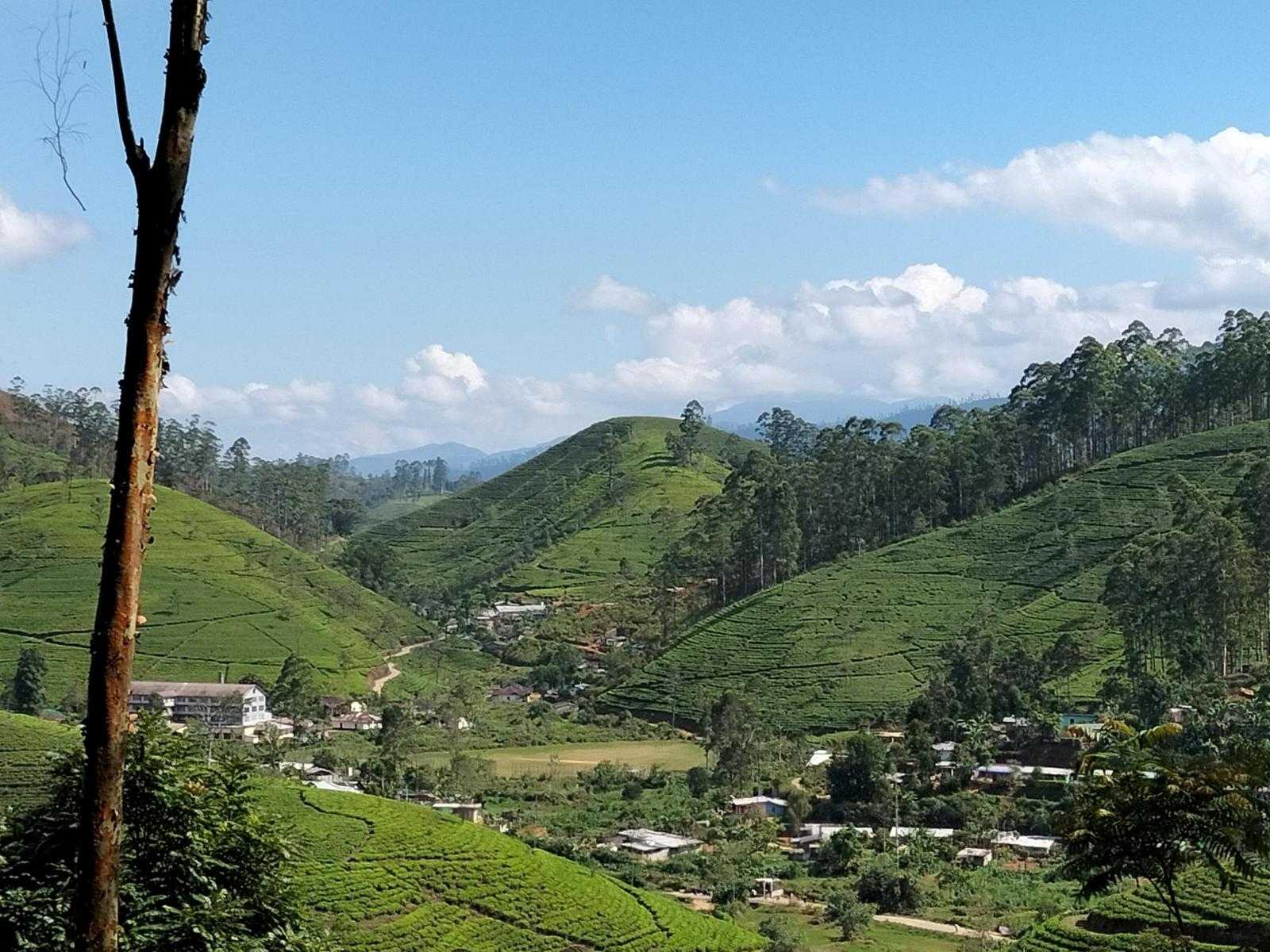
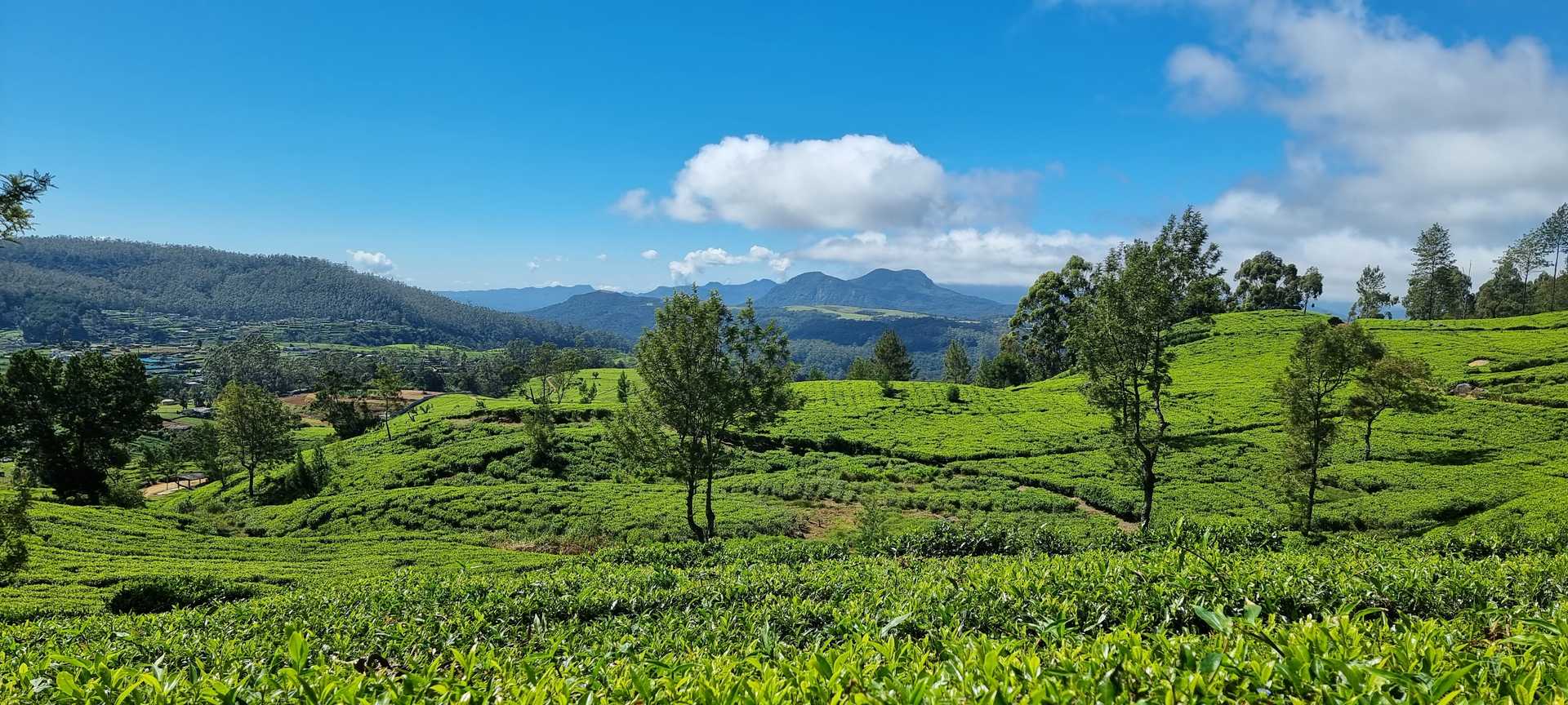
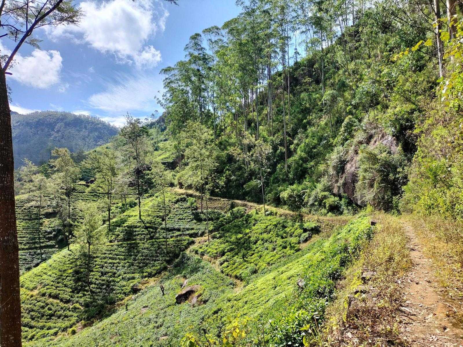
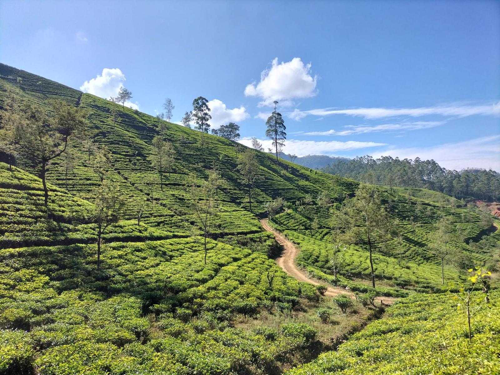
The next 5 km are a series of pathways, through rolling hills of green tea culminating in your first sight of Castlereagh Reservoir in the Bogawantalawa Valley, otherwise known as the “golden bowl” home to some of the best brews in Sri Lanka.
At the 7.8 km point, you will see a football ground to your left. Football is quite popular in the tea country, perhaps even more so than in other rural areas of Sri Lanka.
At the 9 km point coming over the hill, the Battalgalla Tea Factory, and the large red roof of the Dickoya & Maskeliya Cricket Club (DMCC), usually referred to as The Darrawella Club present themselves. The Planters Club is one of Sri Lanka’s finest of the day.
At the 9.4 km point, the trail joins the Agarapatana - Dick Oya road for approximately only 400 meters before turning off to your left just as you reach the planters club itself. A short stop to visit the club is well worth it.
After a few hundred meters along the trail, we cross the river Dick Oya, and make a small climb up passing a small hamlet to your left and then a dog-leg up towards the valley on the other side.
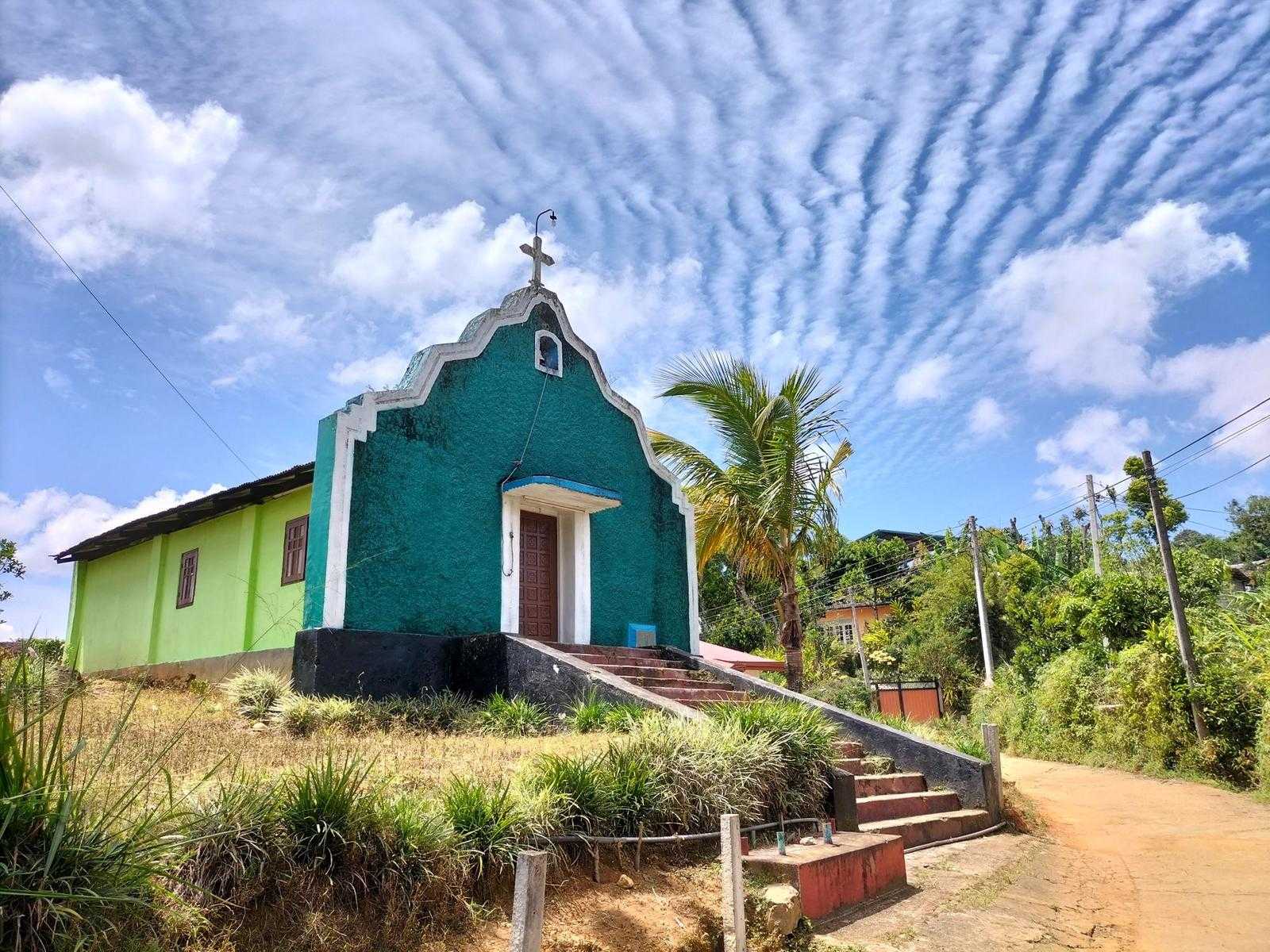
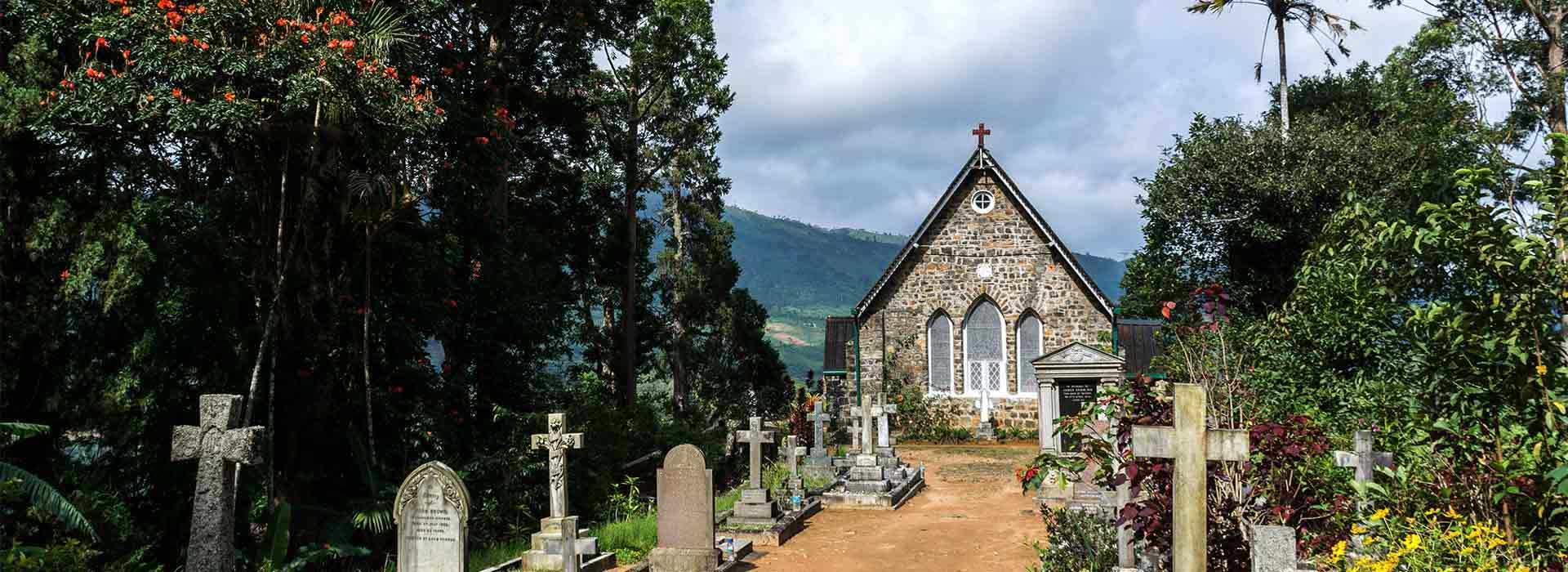
The next few kilometers of the stage feel higher than the other parts, as you are walking along the tops or the sides of the valleys. You will notice the prevalence of Christian churches here. This part of the country is primarily Tamil, which practices either Christianity or Hinduism. You might even bump into the friendly and always-smiling Father Alexander, the local pastor, who tends to his flock and acts as the de facto psychotherapist with all manner of his congregation’s troubles.
Continuing along the trail, you will pass numerous brightly colored line rooms (tea workers’ terraced housing), some simply a single line, whilst in other areas, small villages are made up of hundreds of line rooms, replete with both Hindu Kovils and Christian churches.
At the 12.1 km point, the Castlereagh Reservoir comes into full view, and we begin to descend toward the bottom of the valley. The town below is Norwood. The trail will have you meandering down through the tea estate paths. The fitter of you may take the shortcut paths down the middle, whilst those with time on their hands, or with more robust knees, may prefer the simpler wandering down the main paths at a more leisurely pace.
At the bottom, you are now in Norwood, another bustling tea town. The bridge at the 15 km point marks the beginning of Norwood town. The stage ends at the town itself 600 meters away.
PLEASE TAKE ALL YOUR RUBBISH WITH YOU AND IF YOU SEE ANY RUBBISH OTHERS LEFT BEHIND TRY TO TAKE IT - EVEN IF JUST A BOTTLE OR A PLASTIC BAG, EVERY BIT COUNTS - THANK YOU.
-----------------
The Pekoe Trail is designed to support development and livelihoods in rural areas of Sri Lanka. Buying goods and services from local businesses helps communities along the trail to thrive. .
Stage head to end elevation

Gallery