Stage 6 · Hatton
Watagoda ⇌ Kotagala
- Distance
- 14.97 km (9.30 mi)
- Duration
- 4 hours
- Difficulty
- Moderate
- Elevation gain
- 533 m
- Max elevation
- 1,365 m
- People interaction
- High
- Family friendly
- Yes
- Status
- Open · 07:00–17:00
About this stage
STAGE IS OPEN – signage is in place and trail conditions are actively monitored.
TRAIL PASS: Now mandatory to walk this stage and can be purchased online at https://members.thepekoetrail.org/passes/create. Pekoe Trail Members are not required to buy a pass. If you would like to explore membership opportunities https://members.thepekoetrail.org
IMPORTANT NOTE: The stage is walkable and signposted. Look out for orange circles with a white arrow for directional signs and just the orange circle for way markers. Trail users are advised to consider all the information available and to heed local advice when available. The services of a professional trail guide is recommended. Trail users are responsible for all decisions as to the trail routes, trail conditions, weather, and safety. In addition to the hazards posed by steep terrain and mountain weather, hikers should be prepared for difficult route-finding and challenging trail conditions, dogs, leaches, heavy rain, intermittent thunderstorms, and plenty of sun. It is recommended to drink plenty of water when hiking. Access to emergency medical care and rescue is not always immediately available. Please ensure to carry your essential requirements such as, but not limited to, water, medicines, rations, and a raincoat with you at all times.
Please download the latest version of the map before navigating the stage to avoid missing out on any re-routing.
-----------------
DESCRIPTION OF THE STAGE
Starting at the Watagoda Train station we take a left turn across the railway line and proceed along the street lined up with a few homes on each side and a volleyball ground to your right.
At the 0.3 km point, the track becomes a dyke between two lakes, one large and one smaller. Shortly after there is a splendid Hindu Kovil on our right-hand side with intricate carvings and a prominent wooden door.
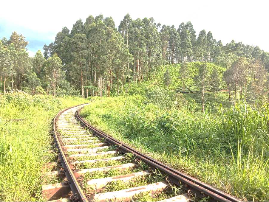
At the 1.3 km point, the trail zig-zags down and turns on itself. There is a wonderful banyan tree here with an idyllic little stream beside it. The trail stretches here for a few hundred meters until we reach the railway line. We turn left and walk on the tracks for 75 meters and then you will see a trail forking out to your right.
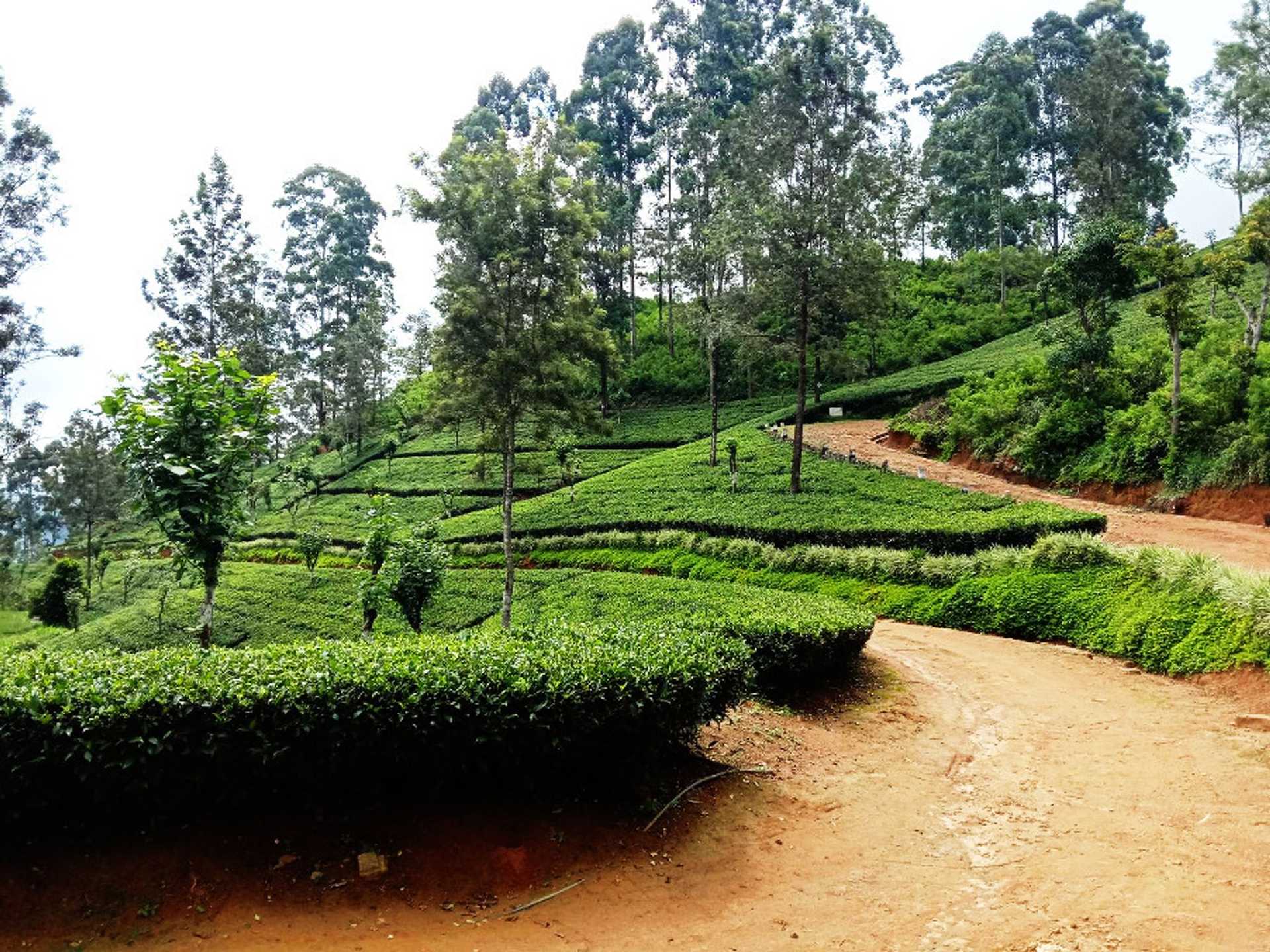
The next 1.7 km is a delight. We walk on a classic tea trail and the terrain is mostly flat. We are in the Holyrood Estate heading towards the main bungalow situated at the 3.7 km mark. The façade of the warehouse reads “Did you hug a tree today” – we certainly did, and not just 1.
We lose around 100 meters of elevation as we descend from the Bungalow to the Factory. The factory is impressive; aren’t they all? We pass by the factory and exit the factory premises through a wide-open gate. Here we turn left and walk along the tarmac road for 200 meters. Here you will see some very interesting artwork painted on the retaining wall – somewhere in Talawakele, there are very talented street artists, no doubt.
At the 5.25 km point take a sharp left up the street. Here The Pekoe Trail leaves the main road behind. We enter a small village street we soon leave behind and we’re back on a tea trail. At the 5.6 km point, we cross the railway line for the 3rd time today and walk along the main road towards Thalawakele town.
After we cross the bridge we enter the town of Thalawakelle, the center of the Dimbula tea planting district which is de facto, the largest growing tea area in Sri Lanka. The altitude of Thalawakelle is 1,198 meters and the average temperature is a spring-like 18 degrees. Thalawakele is also a major transport hub and a busy commercial town.
As soon as we cross the bridge we turn right, over the railway line, and onto the platform. We walk the entire length of the platform until the very end and then proceed to climb up a short stairway onto the main Hatton - Talawakelle Road. We walk on the roadside for a few hundred meters, cross the road, and take a left up onto the Talawakele Estate.
Once you leave Thalawakele behind the trail is delightful. The elevation changes are perfectly manageable and the trail weaves its way up, down, and across small valleys connecting little hamlets. This part feels like a fairy tale, a bit like “The Shire” in Lord of the Rings or the Cotswold Way in England. It is pretty remarkable how such a hive of activity can vanish before your very eyes within a mere kilometer of the center of Thalawakele town.
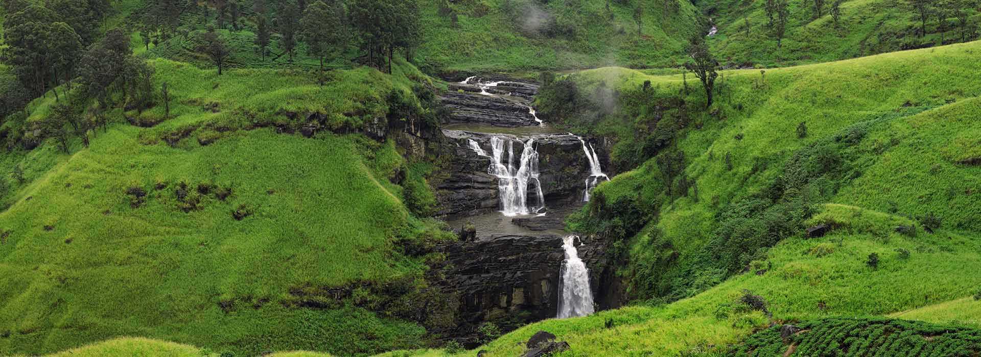
The first 1.5 km is a mild ascent and then a mild descent until we reach the St Claire Tea Factory – boasting its own train station. You might like to stop here to visit a tea factory and enjoy a cup of fresh tea. The trail then follows a village track with a few houses on either side. To the right, you’ll see the St Claire waterfall below – one of the most impressive in Sri Lanka. St. Clair's Falls is one of the widest waterfalls in Sri Lanka and is commonly known as the "Little Niagara of Sri Lanka".
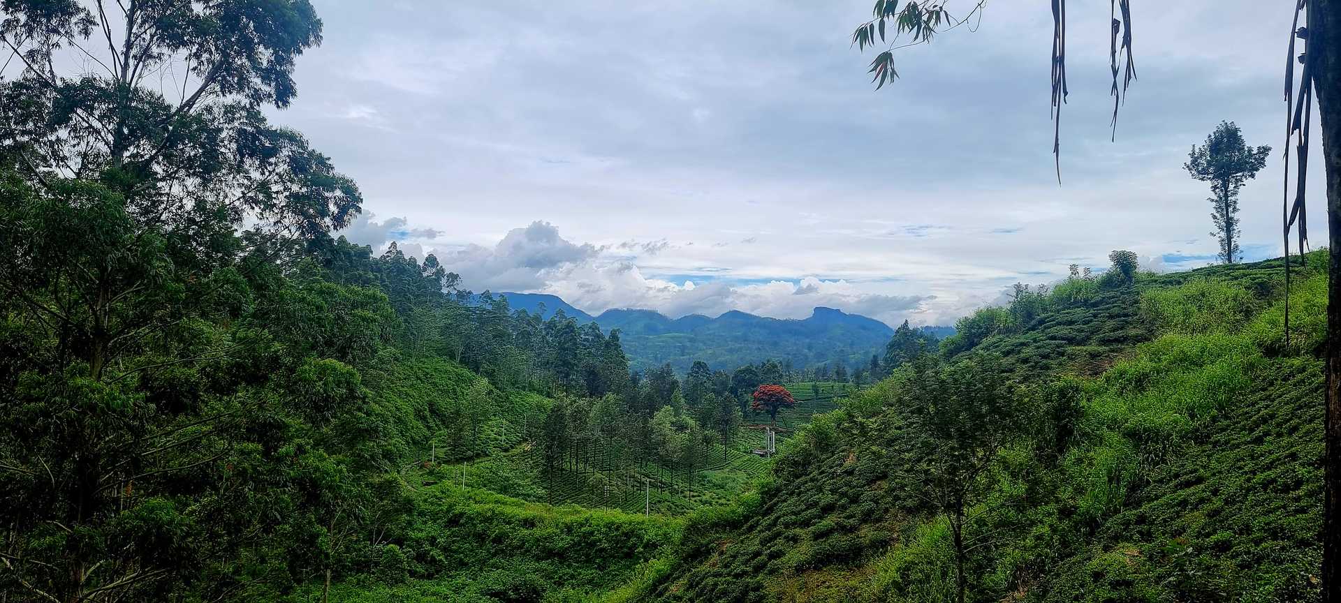
Shortly after we begin to zig-zag up the hills of manicured tea and at the top we are rewarded with magnificent views of the Kotmale Valley below us, facing west. One can make out the contour of the Nanu Oya river we crossed in Talawakele.
Tea trails and tea villages, up and down and around, at the 12 km point we reach the next small village located within the Derryclaire Estate. One more hill and a stretch of shady forest to go.
At the 15.3 km point, the trail connects with the main Talawakele – Hatton road for approximately 100 meters. This town is called Kotagala. There is a brightly painted Hindu Kovil to your right which serves well as an anchor if need to provide a market for someone to pick you up. There is also a train station and are plenty of tuk-tuks around if you want to start or end your day here. There are a few shops as well making it a perfect place to replenish if there is anything you need. The 06th stage ends here.
PLEASE TAKE ALL YOUR RUBBISH WITH YOU AND IF YOU SEE ANY RUBBISH OTHERS LEFT BEHIND TRY TO TAKE IT - EVEN IF JUST A BOTTLE OR A PLASTIC BAG, EVERY BIT COUNTS - THANK YOU.
-----------------
The Pekoe Trail is designed to support development and livelihoods in rural areas of Sri Lanka. Buying goods and services from local businesses helps communities along the trail to thrive. The Pekoe Trail is funded by the European Union (EU) with additional support from the United States Agency for International Development (USAID) and implemented by IESC on behalf of Sri Lanka Tourism.
Stage head to end elevation

Gallery
.jpg)