Stage 5 · Hatton
Pundal Oya ⇌ Watagoda
- Distance
- 14.31 km (8.89 mi)
- Duration
- 4 hours
- Difficulty
- Moderate
- Elevation gain
- 780 m
- Max elevation
- 1,352 m
- People interaction
- High
- Family friendly
- No
- Status
- Open
About this stage
STAGE IS OPEN – signage is in place and trail conditions are actively monitored.
TRAIL PASS: Now mandatory to walk this stage and can be purchased online at https://members.thepekoetrail.org/passes/create. Pekoe Trail Members are not required to buy a pass. If you would like to explore membership opportunities https://members.thepekoetrail.org
IMPORTANT NOTE: The stage is walkable and signposted. Look out for orange circles with a white arrow for directional signs and just the orange circle for way markers. Trail users are advised to consider all the information available and to heed local advice when available. The services of a professional trail guide is recommended. Trail users are responsible for all decisions as to the trail routes, trail conditions, weather, and safety. In addition to the hazards posed by steep terrain and mountain weather, hikers should be prepared for difficult route-finding and challenging trail conditions, dogs, leaches, heavy rain, intermittent thunderstorms, and plenty of sun. It is recommended to drink plenty of water when hiking. Access to emergency medical care and rescue is not always immediately available. Please ensure to carry your essential requirements such as, but not limited to, water, medicines, rations, and a raincoat with you at all times.
Please download the latest version of the map before navigating the stage to avoid missing out on any re-routing.
-----------------
DESCRIPTION OF THE STAGE
Today’s stage starts just before Pundaloya Town and the river crossing. This is a very good and easy landmark for guides and drivers to find you if you need to be picked up or dropped off. A hundred meters ahead you will see a small road to your right leading to homes surrounding the village. We pass by the local Mosque, the local police station and a string of houses all the way to the edge of the town.
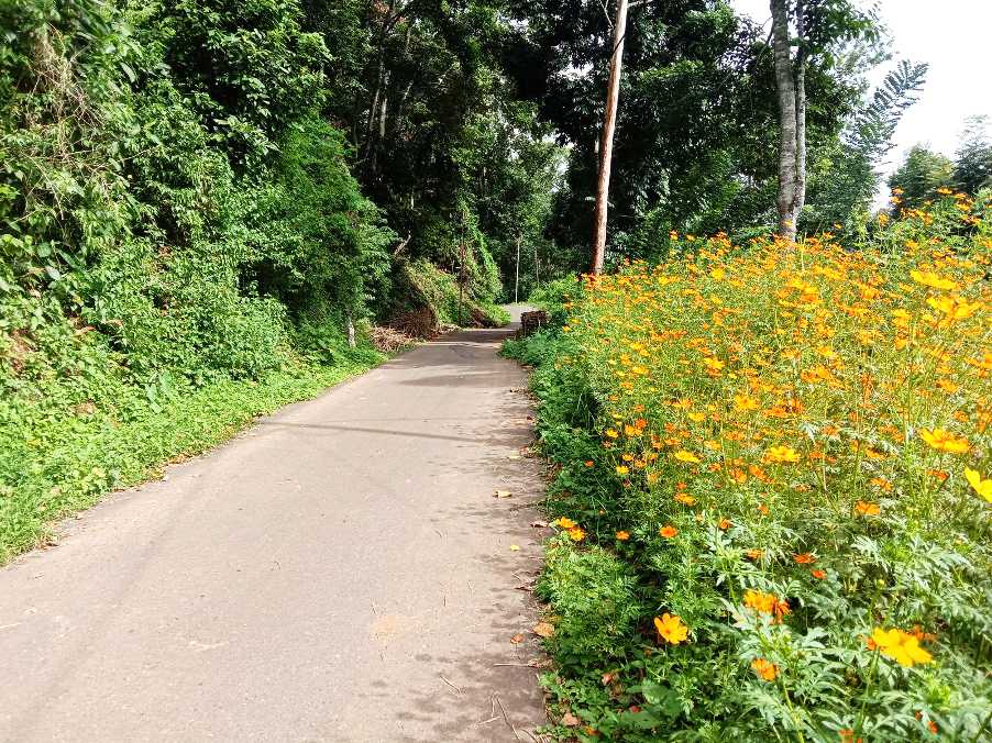
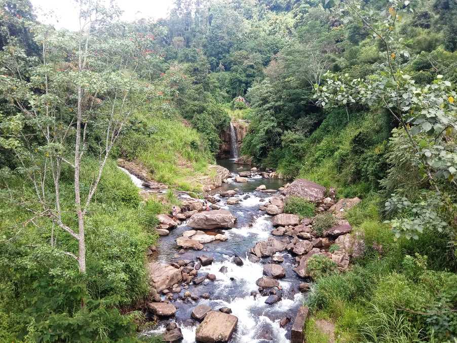
The trail then zig-zags over a km of paddy and a bit of forest, crossing a gorgeous river as well. At the 1.9 KM point we saddle onto the road heading down the valley. It’s a secondary road, so don’t worry, there are hardly any vehicles on it. We follow this road until the 5.7 post and take the right track the intersection. From here on it's mostly uphill - but at a very doable and relaxed gradient – all the way to the end of the stage.
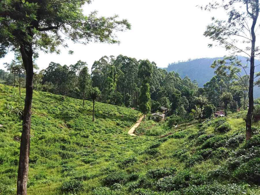
We are now on a village road for approximately 4km. There is a lovely Buddhist Temple on route as the trail zig zags passed gorgeous paddy and village homes dotted along the way. Enjoy the paddy while it lasts – as you’re on the PEKOE Trail where “tea trailing’ is the name of the game!
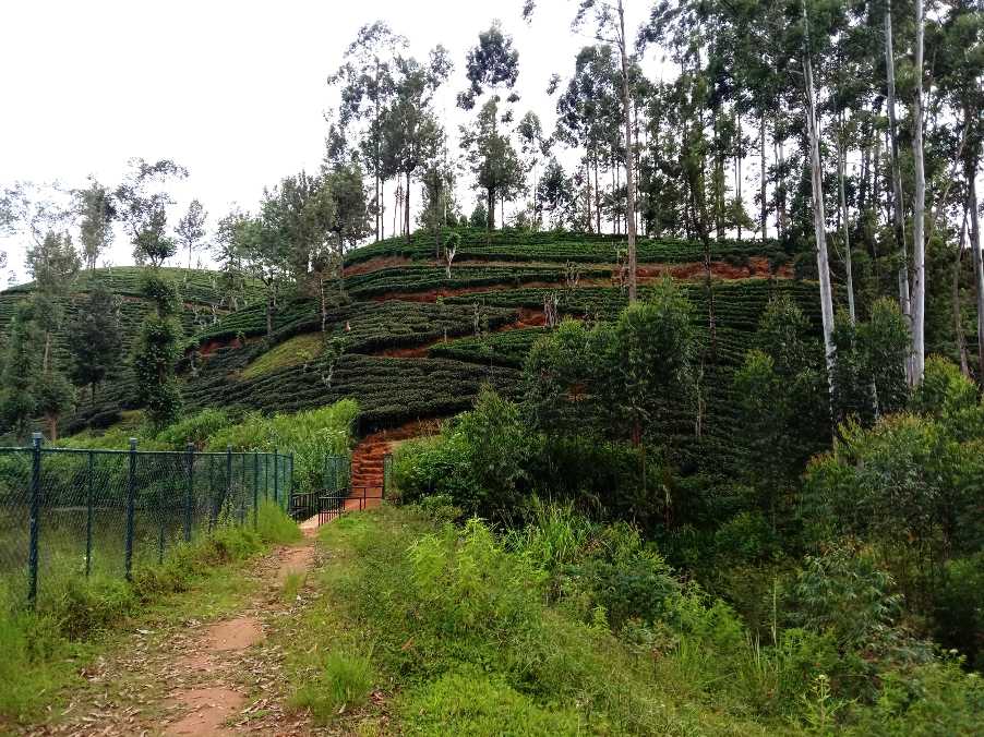
At the 9.6 km point, we dog-leg left and we’re back on tea estate roads. You will see the Dimbula Hills to your left across the river and ‘The Wall’ of rock and forest on the left-hand side. This ‘wall’ reminded us of the ‘wall’ in Game of Thrones – as it is seemingly unsurmountable. It is a breathtaking view. Beyond “the wall’ is the Pundaloya Valley. There is an estate that sits on the very top of that wall which is one of the most photogenic parts of the tea country, especially when observed from a higher elevation.
Dimbula is one of the most important and historically significant tea-growing regions of the tea country. Dimbula was, in fact, one of the earliest districts to be planted. We are slowly and gradually making our way into the true heart of the tea country.
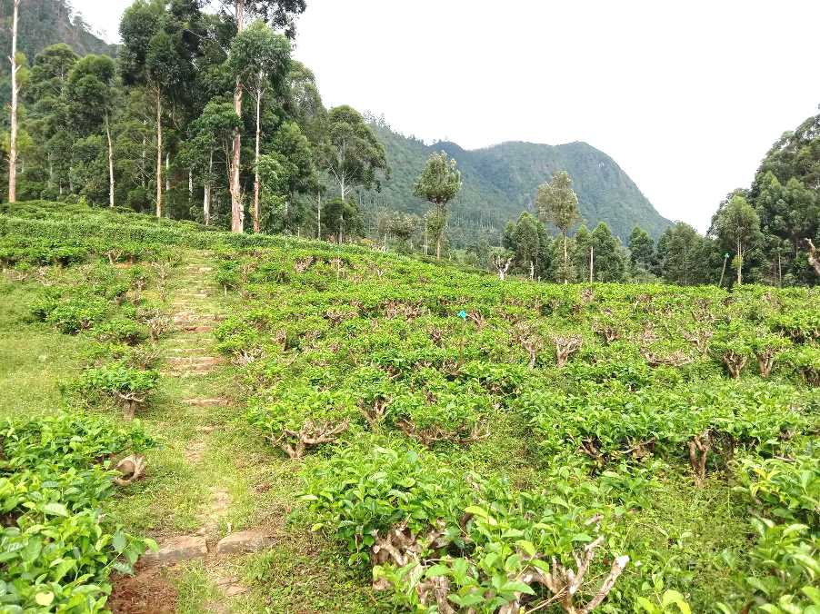
At the 10.5 km point, we reach the Elpitiya Elders' home – we leave this building on our right and keep walking through the estate on tea trails. At the 11.65 km point, we leave the tarmac road and village behind and continue ascending gradually on a trail with an irrigation canal on our right-hand side. We reach the plant nursery and a gorgeous Kovil and then turn left up towards the factory,
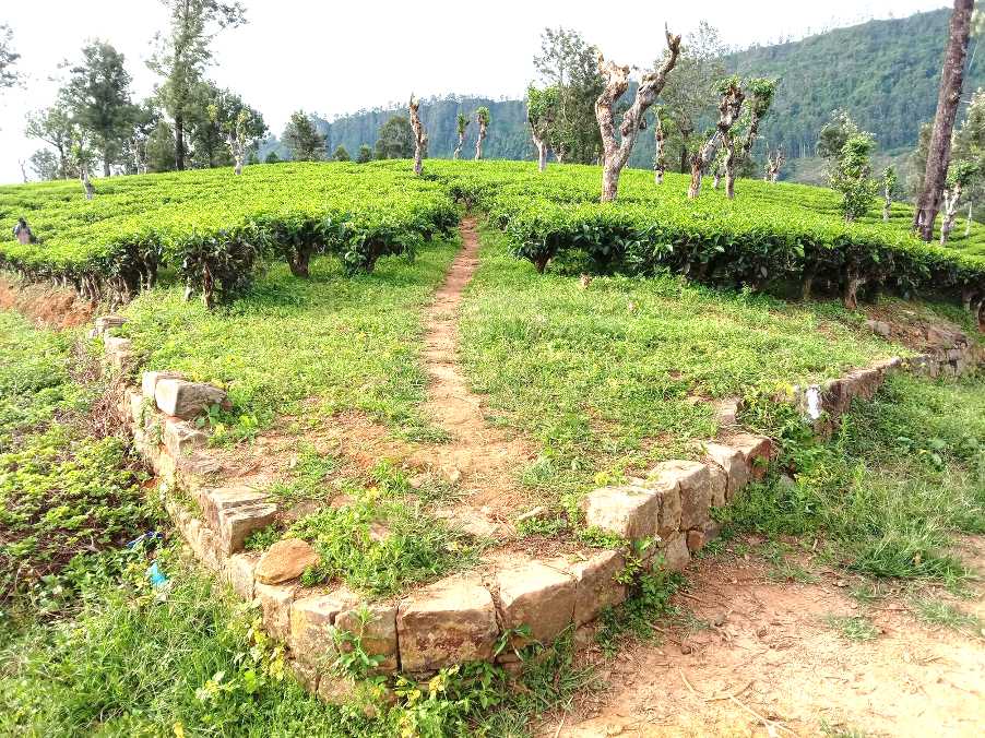
At the 12.8 km point, the trail takes you over a small damn and three short and sharp zig-zags. At the 13.8 km point, we enter Watagoda Town, a small but lively village with all the usual shops and kades. The Watagoda Train station marks the end of the stage.
PLEASE TAKE ALL YOUR RUBBISH WITH YOU AND IF YOU SEE ANY RUBBISH OTHERS LEFT BEHIND TRY TO TAKE IT - EVEN IF JUST A BOTTLE OR A PLASTIC BAG, EVERY BIT COUNTS - THANK YOU.
The Pekoe Trail is designed to support development and livelihoods in rural areas of Sri Lanka. Buying goods and services from local businesses helps communities along the trail to thrive.
Stage head to end elevation

Gallery
.png)