Stage 20 · Ella
Lunuwatte ⇌ Uda Pussellawa
- Distance
- 13.63 km (8.47 mi)
- Duration
- 4 hours
- Difficulty
- Moderate
- Elevation gain
- 658 m
- Max elevation
- 1,622 m
- People interaction
- Low
- Family friendly
- No
- Status
- Open
About this stage
STAGE IS OPEN – signage is in place and trail conditions are actively monitored.
TRAIL PASS: Now mandatory to walk this stage and can be purchased online at https://members.thepekoetrail.org/passes/create. Pekoe Trail Members are not required to buy a pass. If you would like to explore membership opportunities https://members.thepekoetrail.org
IMPORTANT NOTE: The stage is walkable and signposted. Look out for orange circles with a white arrow for directional signs and just the orange circle for way markers. Trail users are advised to consider all the information available and to heed local advice when available. The services of a professional trail guide is recommended. Trail users are responsible for all decisions as to the trail routes, trail conditions, weather, and safety. In addition to the hazards posed by steep terrain and mountain weather, hikers should be prepared for difficult route-finding and challenging trail conditions, dogs, leaches, heavy rain, intermittent thunderstorms, and plenty of sun. It is recommended to drink plenty of water when hiking. Access to emergency medical care and rescue is not always immediately available. Please ensure to carry your essential requirements such as, but not limited to, water, medicines, rations, and raincoat with you at all times.
Please download the latest version of the map before navigating the stage to avoid missing out on any re-routing.
-----------------
DESCRIPTION OF THE STAGE
Today’s stage starts in Lunuwatte town heading west on a village road toward the Sri Wisuddharamaya Temple. Within a short distance, you’ll see a pretty lake on the left-hand side and the temple to your right.
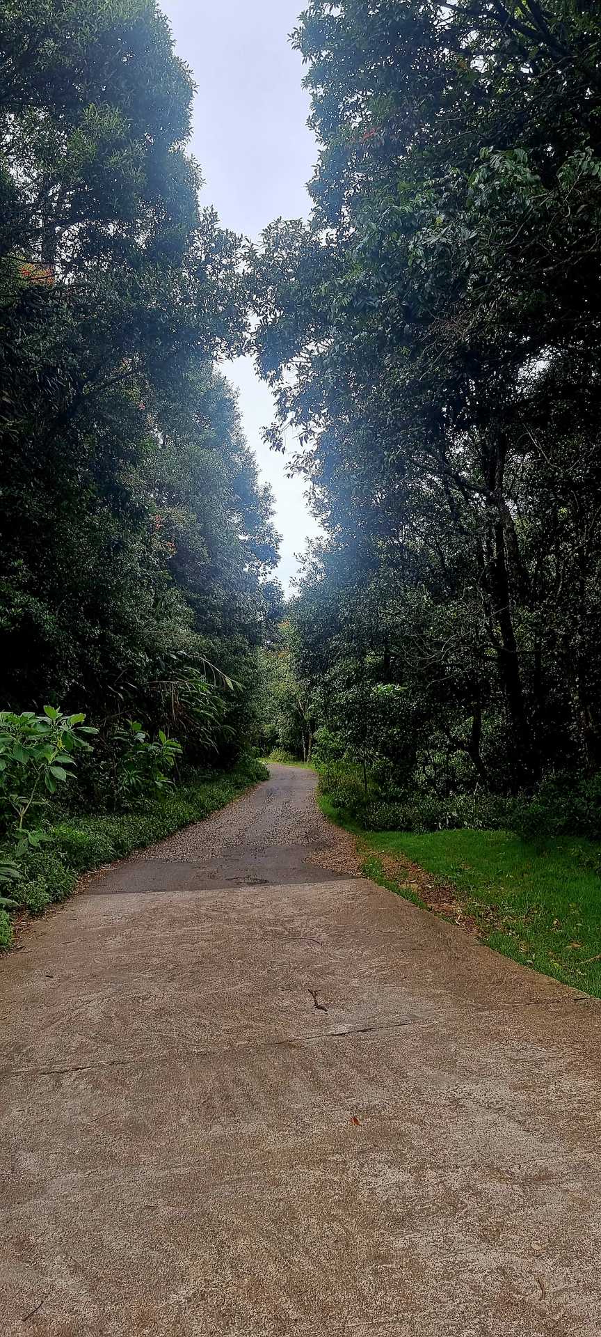
We continue straight down towards the paddy fields below. At the 1.5 km post, we begin to ascent in between village homes. The next km is probably the hardest part of today’s walk as we ascend zig-zagging up village roads until we enter the eucalyptus forest. We leave the village behind and from here on, all the way to the end, we’re in forests and tea plantations, with a total of 10 km of quiet countryside ahead of us – half uphill and half downhill.
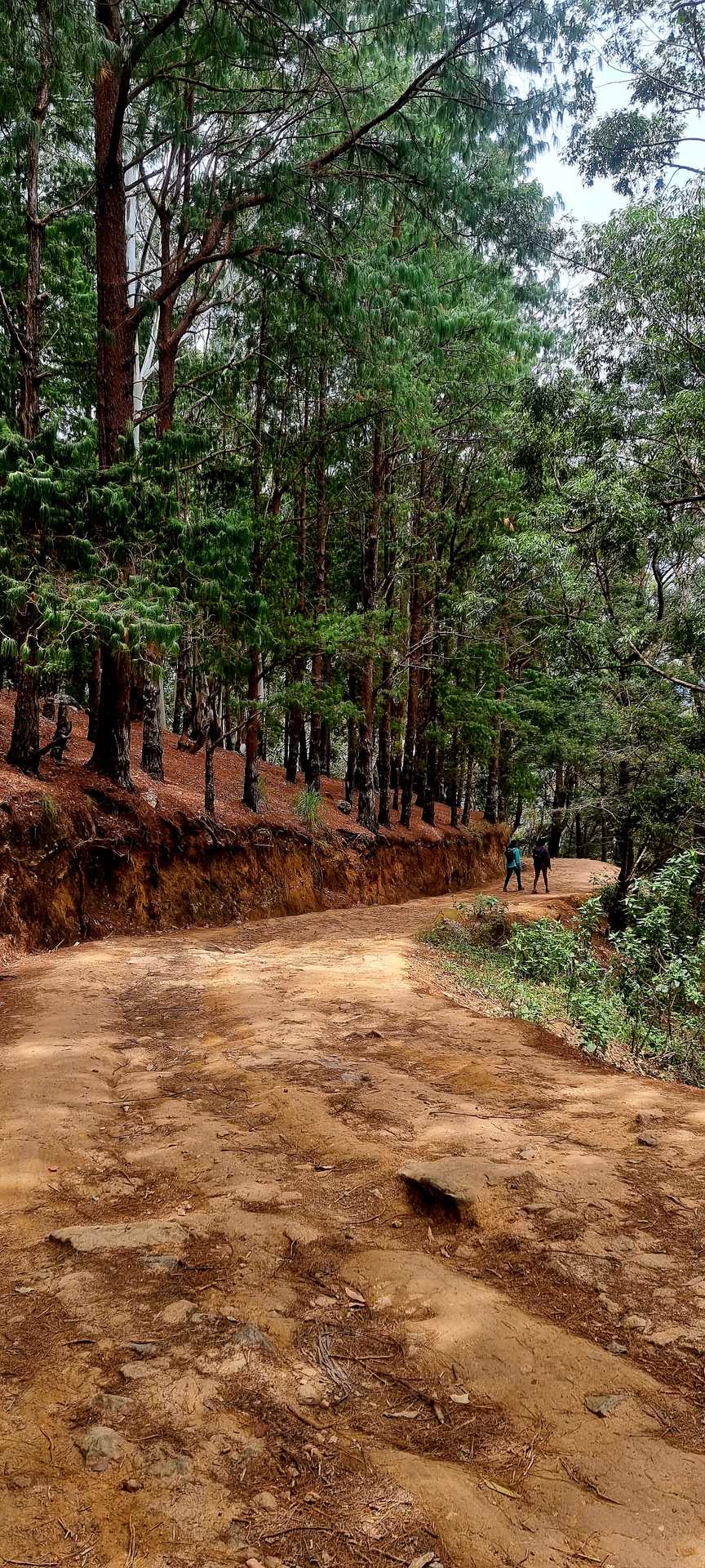
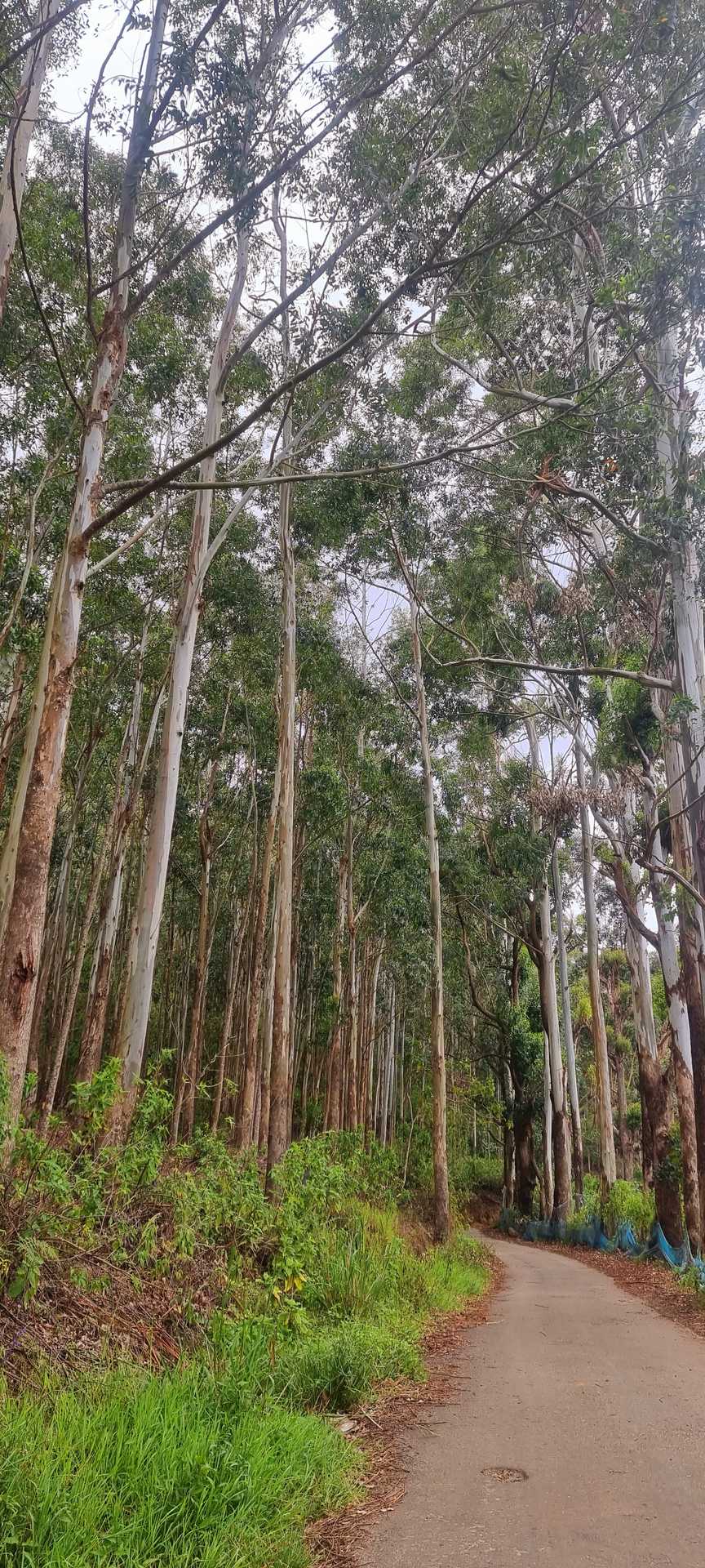
At the 3 km point, we enter the eucalyptus and pine forest as we gradually ascend. Don’t be intimidated by the mountain ahead of you, The Pekoe Trail circumvents the forested hill on the eastern side. The dominant plants on the hill are large eucalyptus trees apparently planted to stabilize the slope after the original forest was cleared some thirty years ago. Enjoy the wilderness and the views to the east as you follow the contour of the hill. The trail is thin but clear –a “category 1 trail“ at this stage.
At the 4.5 km point, we arrive at the Sthripura Caves, an important cave network stepped in myth. Sthripura, also spelled Isthripura, is derived from Sanskrit and Sinhalese word Sthri which means woman, and Pura meaning town and refers to a mythical incident where King Walagamba (who died in 77 BC) hid 500 queens in a cave to protect them (Basnayake, 1983).
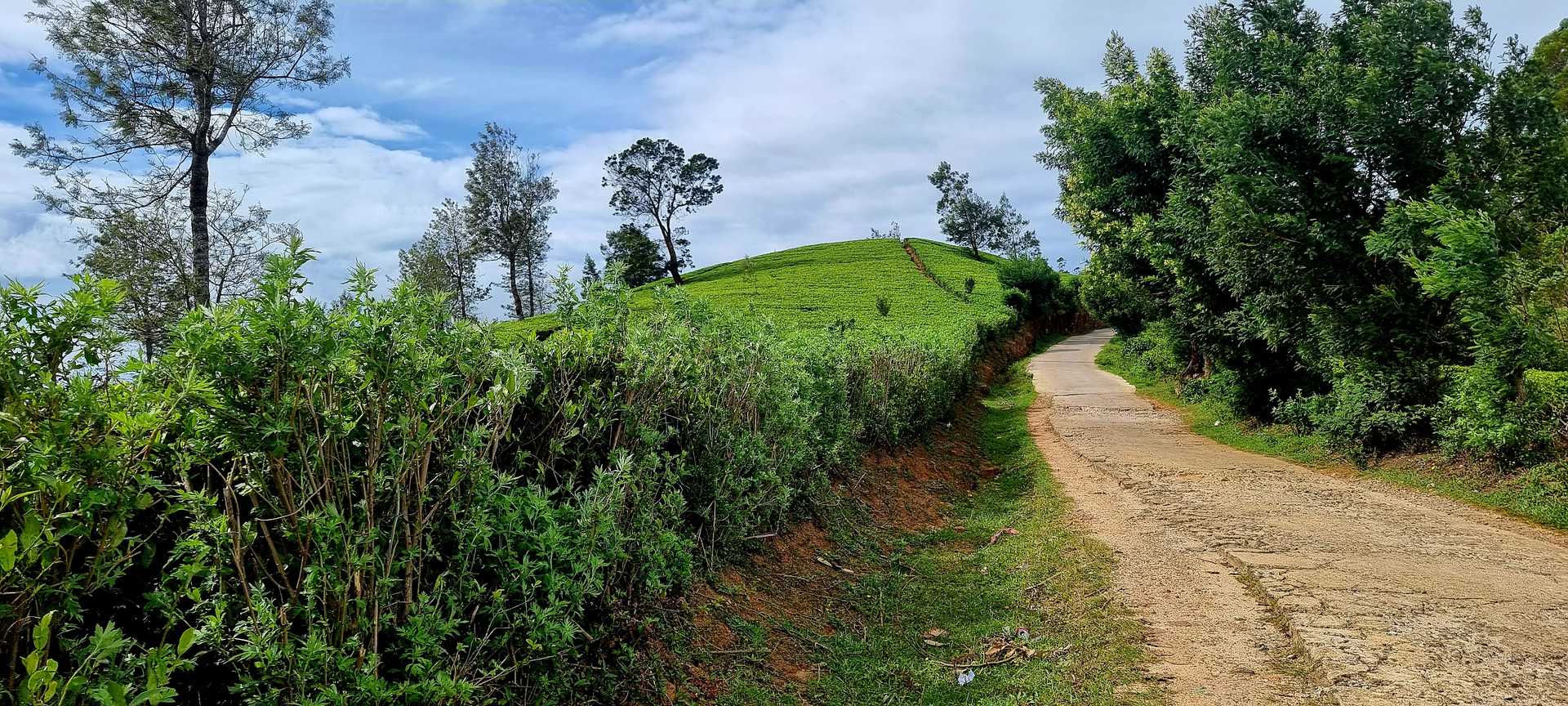
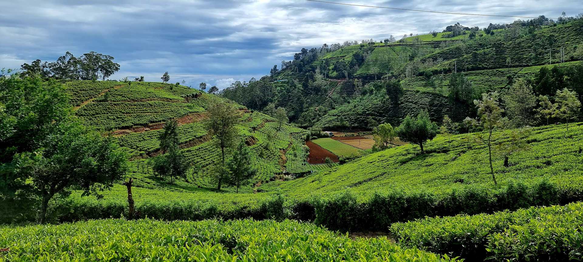
From here we head northwest on the clearly visible tea trail ahead of us. Leaving a small estate worker village to our left we walk on tea trails gradually ascending all the way to the top. At the 6 km point, we pass by the Estate’s Manager's Bungalow.
At the 6.8 km point, we arrive at the tea-trail junction that saddles both valleys and sits on the border between the Central and Uva provinces. We take the trail to the right and follow the trail on the ridge for approximately 1.5 km including a few hundred meters of pine forest. The views from here are stunning.
At the 8.7 km point, we begin to descend first through another eucalyptus forest and then down the maze of tea trails before us. If you look up ahead you are looking in the general direction of The Pekoe Trail – and the day ahead which is Uda Pussellawa to Ragala.
At the 10.7 km point, having descended for a while, you will find yourself walking uphill for a hundred meters again and then crossing a small bridge. From here the end of the stage, Uda Pussellawa town, is only 1.5 km away. The tea trail we are on links with an old country road that heads down to the village. You will see the main Uda Pussellawa -Ragala Road twisting and turning down below. You can avoid it all together – this secondary road takes you down into the center of town all the way. At the 12 km point, the trail narrows down to a single file as you will walk between a house to your right and a fence to your left, but only for 10 meters.
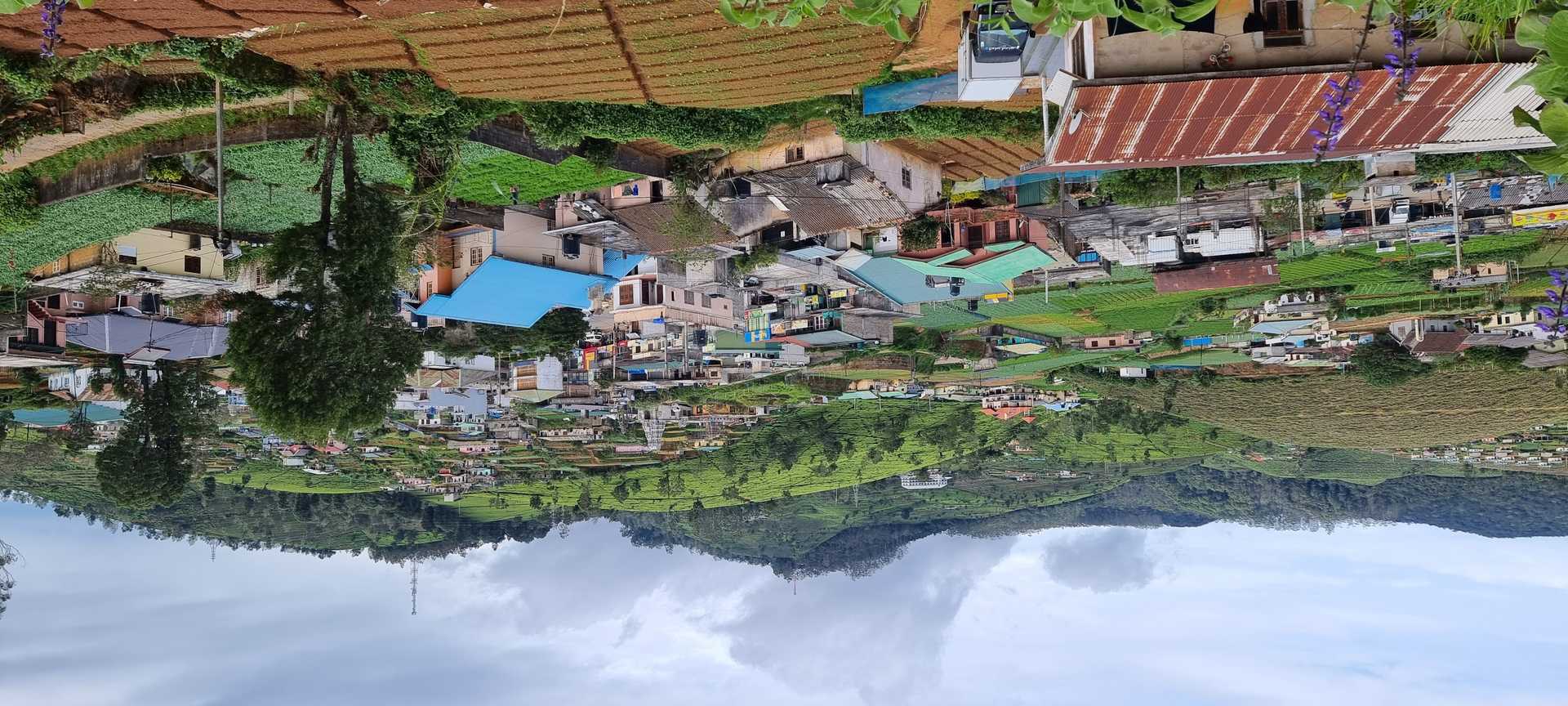
We then descend gradually towards Uda Pussellawa, town is a reasonably large village, transport and commercial hub with basic facilities, shops, and ATMs. We love this day!
PLEASE TAKE ALL YOUR RUBBISH WITH YOU AND IF YOU SEE ANY RUBBISH OTHERS LEFT BEHIND TRY TO TAKE IT - EVEN IF JUST A BOTTLE OR A PLASTIC BAG, EVERY BIT COUNTS - THANK YOU.
-----------------
The Pekoe Trail is designed to support development and livelihoods in rural areas of Sri Lanka. Buying goods and services from local businesses helps communities along the trail to thrive.
Stage head to end elevation

Gallery