.jpg)
Stage 19 · Ella
Ettampitiya ⇌ Lunuwatte
- Distance
- 21.00 km (13.05 mi)
- Duration
- 6 hours
- Difficulty
- Difficult
- Elevation gain
- 873 m
- Max elevation
- 1,251 m
- People interaction
- High
- Family friendly
- No
- Status
- Open
About this stage
STAGE IS OPEN – signage is in place and trail conditions are actively monitored.
TRAIL PASS: Now mandatory to walk this stage and can be purchased online at https://members.thepekoetrail.org/passes/create. Pekoe Trail Members are not required to buy a pass. If you would like to explore membership opportunities https://members.thepekoetrail.org
IMPORTANT NOTE: The stage is walkable and signposted. Look out for orange circles with a white arrow for directional signs and just the orange circle for way markers. Trail users are advised to consider all the information available and to heed local advice when available. The services of a professional trail guide is recommended. Trail users are responsible for all decisions as to the trail routes, trail conditions, weather, and safety. In addition to the hazards posed by steep terrain and mountain weather, hikers should be prepared for difficult route-finding and challenging trail conditions, dogs, leaches, heavy rain, intermittent thunderstorms, and plenty of sun. It is recommended to drink plenty of water when hiking. Access to emergency medical care and rescue is not always immediately available. Please ensure to carry your essential requirements such as, but not limited to, water, medicines, rations, and a raincoat with you at all times.
Please download the latest version of the map before navigating the stage to avoid missing out on any re-routing.
-----------------
DESCRIPTION OF THE STAGE
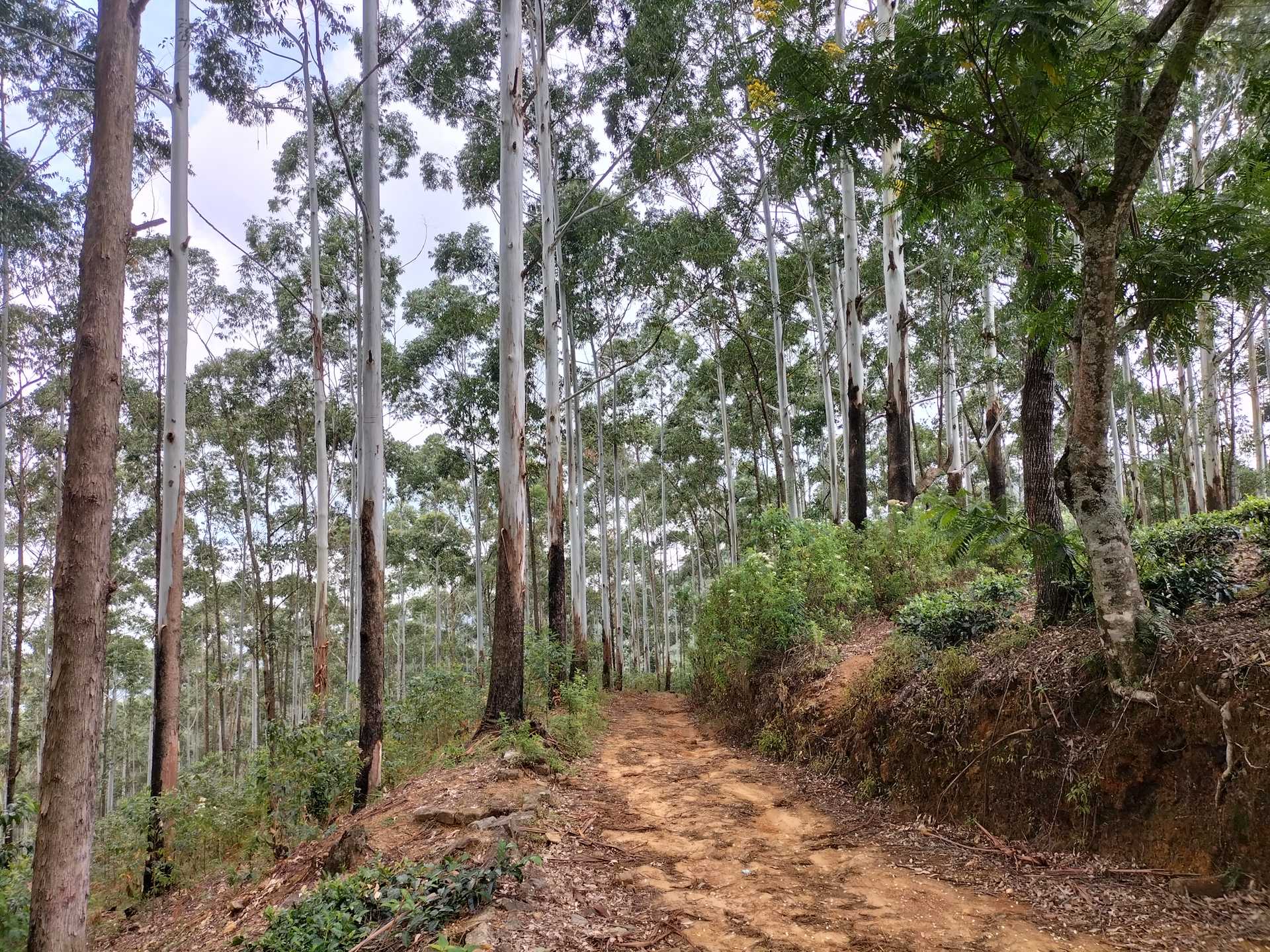
Today’s stage starts at Ettampitiya, a small yet busy town with plenty of shops to stock for the walk. It’s an 18 km stage divided into two very distinct parts. The first 8 km is a gradual descent towards the crossing of the region’s most distinctive river the Uma Oya. The Uma Oya is born at Pidurutalagala, the tallest mountain in Sri Lanka towering over Nuwara Eliya, at an elevation of 2,524 meters. The river eventually connects with the great Mahaweli, the longest river in Sri Lanka. The crossing of the Uma Oya is a very significant landmark of the trail, as this is the point from where we gradually begin to ascend to Nuwara Eliya, 4 stages ahead of us.
The second 10 km run through some of the most remote parts of the tea country; there is very little tourism here. To us this part of the country looks a lot like Bali. We are definitely off the beaten path here…
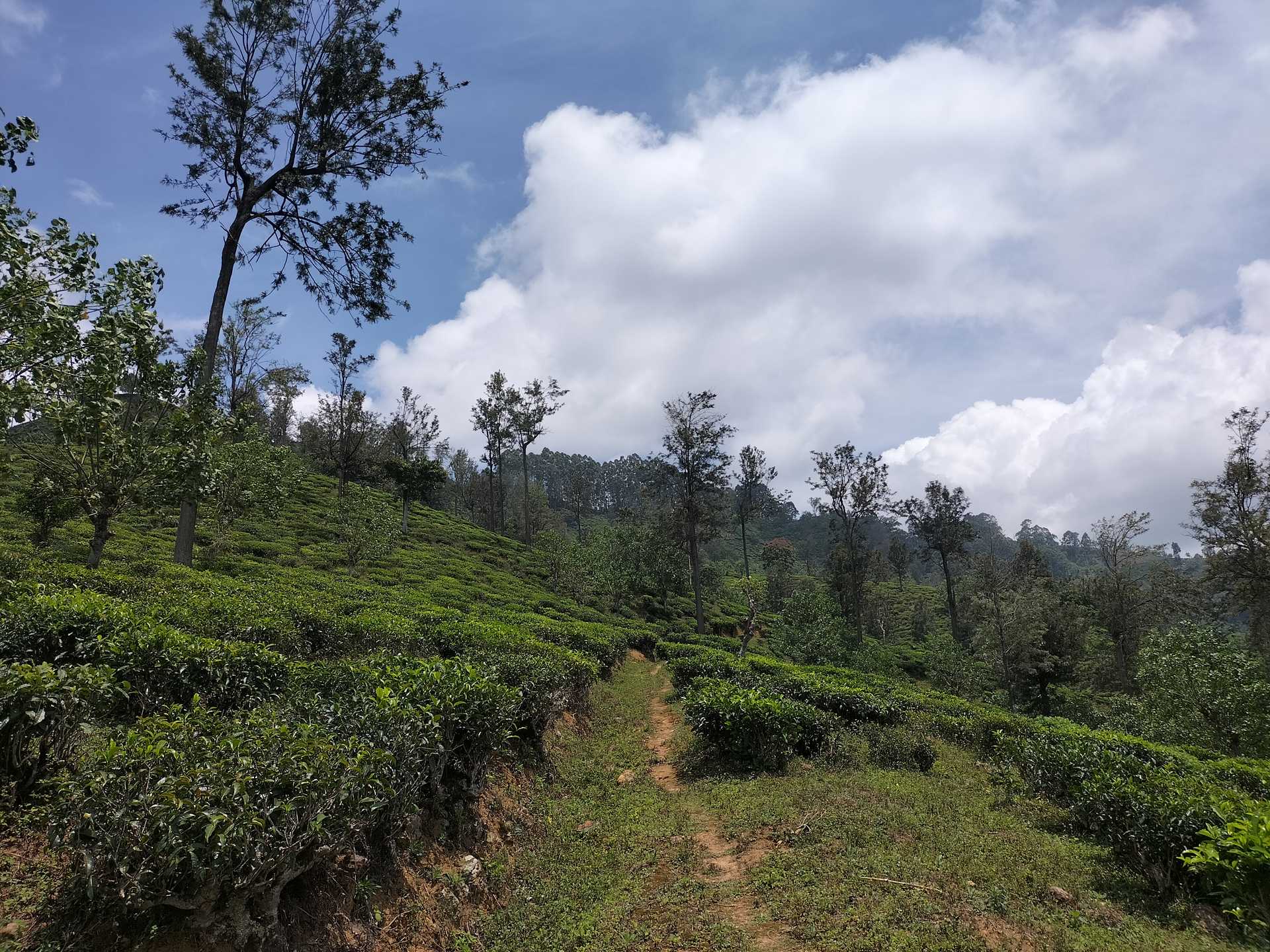
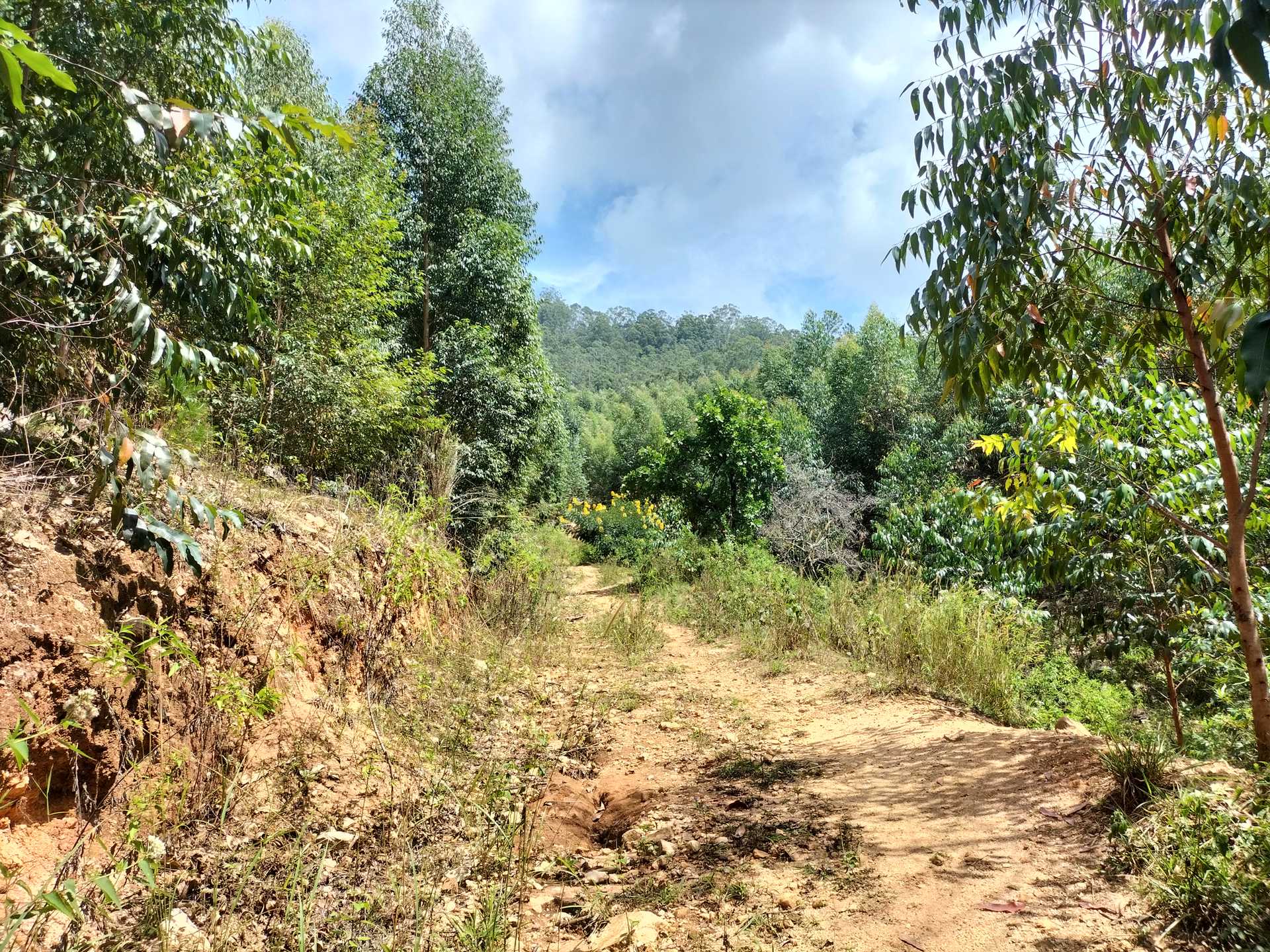
We begin by walking on the main Hali-Ela – Welimada road for just 150 meters and then turn right onto a gravel road. We are immediately surrounded by tea fields with a few village homes peppered around. At the 1.1 km point, the tea trail we are on connects with a tarmacked village road, and then The Pekoe Trail peels off to the right and we’re back on a tea estate road that leads us all the way down to the Ettampitiya Estate Bungalow. We keep descending on the estate road and then, at the 2.2 km point we dog-leg back up, this time on a tarmacked village road. We walk uphill on the road for 700 meters and, at the fork, we take the right trail.
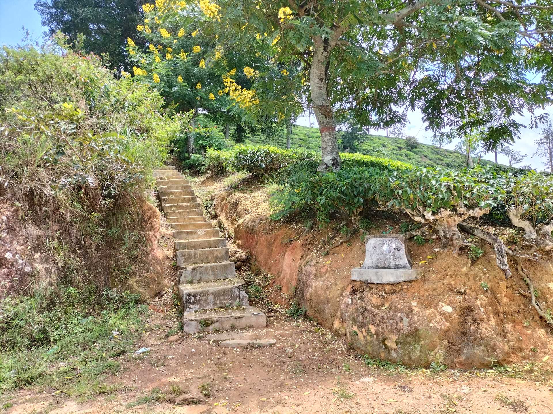
It’s a very straight path down the hill passing a few village homes on either side. There is also a local school on the right-hand side called Dehiwwina. At the 4.4 km point, we arrive at the Pallawela Temple, a lovely and serene Buddhist temple. We keep on descending and the trail becomes gradually steeper. Over the next 2.5 km, we are going to descend approximately 250 meters in elevation. Unfortunately, there is a section of the trail that are steps, but not for long, and at the very bottom awaits a truly delightful sight and experience – an old suspension bridge we will be crossing. At the time of writing the suspension bridge was open and passable but if you have any doubts, then simply walk down to the river bed as there is a concrete path that crosses the river. The river is a lively place – you might find kids swimming or villagers washing their clothes.
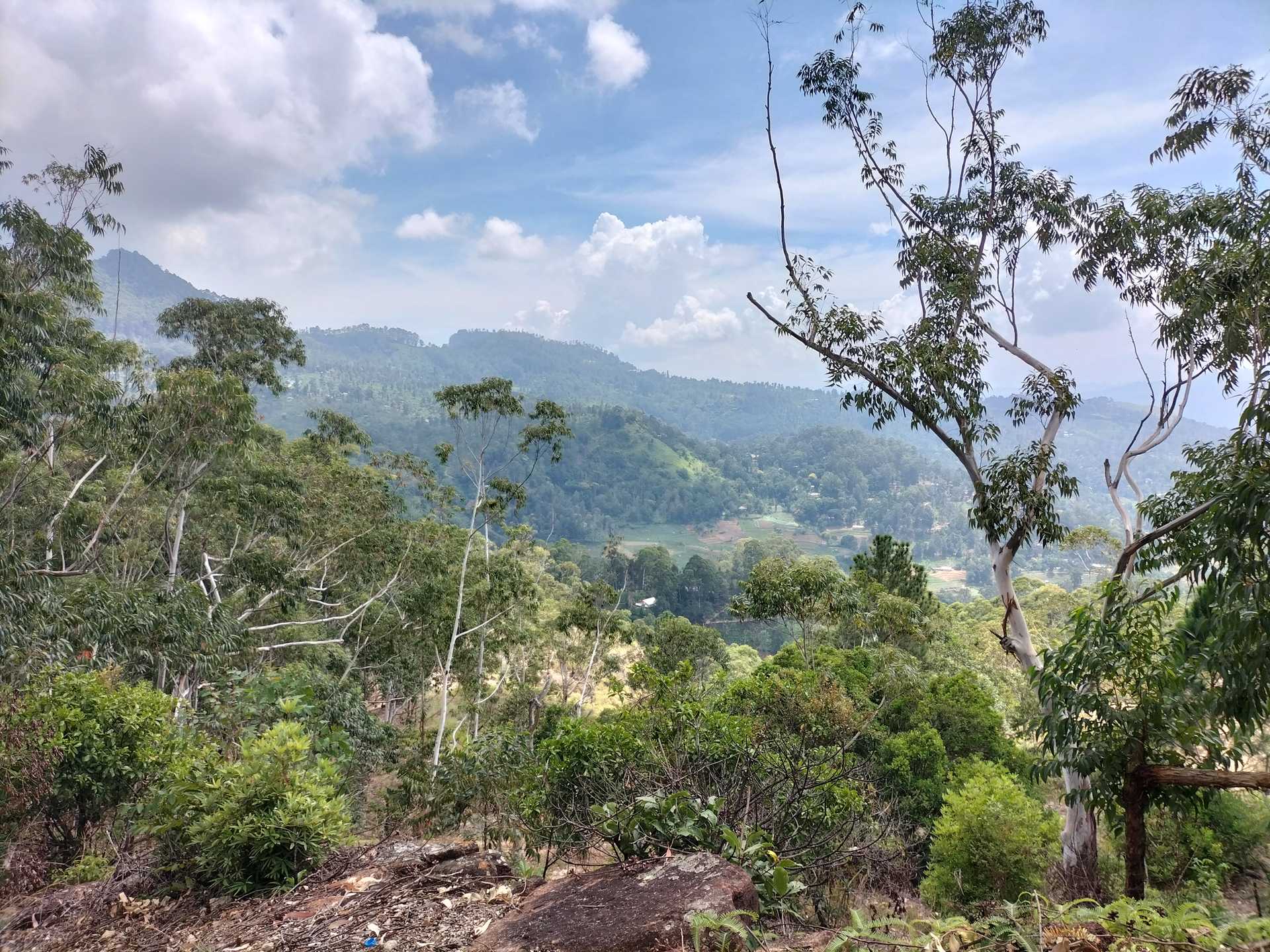
Once we cross the river we come across a local hydro plant and immediately after that, we’re on the main Hali-Ela – Welimada Road again. There is no option but to walk for 700 meters on the side of the road until we reach the 8.7 km point. Here we cross over the river again – there is a clear concrete bridge across. The next kilometer is all uphill, zig-zagging past village homes. At the 9.0 km point, the views of the Uma Oya valley on your right are magnificent.
At the 11.2 km point, we turn left onto the tarmac road for only a few hundred meters then back off the road onto a tea trail, and then loop back onto the road till the 13km post. At the 13km post, we peel off to the left and then slowly begin to descend leaving a lovely temple on our right.
We’re back on lovely tea trails till the 16.5km post where we cross a picturesque section of paddy. This part of the tea country reminds us of Bali / Ubud. Up and then down again to cross another section of paddy at the 17.8 km post. From here it's 1km up the road to Lunuwatte.
PLEASE TAKE ALL YOUR RUBBISH WITH YOU AND IF YOU SEE ANY RUBBISH OTHERS LEFT BEHIND TRY TO TAKE IT - EVEN IF JUST A BOTTLE OR A PLASTIC BAG, EVERY BIT COUNTS - THANK YOU.
The Pekoe Trail is designed to support development and livelihoods in rural areas of Sri Lanka. Buying goods and services from local businesses helps communities along the trail to thrive.
Stage head to end elevation

Gallery