.jpg)
Stage 17 · Ella
Demodara ⇌ Hali Ela
- Distance
- 13.15 km (8.17 mi)
- Duration
- 4 hours
- Difficulty
- Moderate
- Elevation gain
- 582 m
- Max elevation
- 1,195 m
- People interaction
- High
- Family friendly
- Yes
- Status
- Open
About this stage
STAGE IS OPEN – signage is in place and trail conditions are actively monitored.
TRAIL PASS: Now mandatory to walk this stage and can be purchased online at https://members.thepekoetrail.org/passes/create. Pekoe Trail Members are not required to buy a pass. If you would like to explore membership opportunities https://members.thepekoetrail.org
Due to changing weather conditions in the Central Highlands, hikers are advised to exercise extra caution on this stage. Trails may be slippery with reduced visibility and sudden rainfall.
IMPORTANT NOTE: The stage is walkable and signposted. Look out for orange circles with a white arrow for directional signs and just the orange circle for way markers. Trail users are advised to consider all the information available and to heed local advice when available. The services of a professional trail guide is recommended. Trail users are responsible for all decisions as to the trail routes, trail conditions, weather, and safety. In addition to the hazards posed by steep terrain and mountain weather, hikers should be prepared for difficult route-finding and challenging trail conditions, dogs, leaches, heavy rain, intermittent thunderstorms, and plenty of sun. It is recommended to drink plenty of water when hiking. Access to emergency medical care and rescue is not always immediately available. Please ensure to carry your essential requirements such as, but not limited to, water, medicines, rations, and a raincoat with you at all times.
Please download the latest version of the map before navigating the stage to avoid missing out on any re-routing.
-----------------
DESCRIPTION OF THE STAGE
This stage begins at a point easily visible from the Demodara train station, at which point the train line does a spiral through a tunnel that actually runs beneath the railway station and winds around the mountain.
The first kilometer runs along the fairly wide Demodera-Spring Valley Road. Heading northeast, we wrap around the small hill where Nine Skies Bungalow is located; a delightful old planters house restored and operated as a small boutique hotel by the Teardrop Collection.
At the 800-meter point, we cross the Badulla bridge, very shortly after which, we turn sharp left up a gradually ascending concreted trail that twists and turns its way up to the tea fields, in a decidedly northern direction.
At the 3.6-kilometer point, we arrive at the office and tea shed of the Demodara Tea Estate of the Oetumbe Division. From here, we turn sharp right, past a few houses on the right, and then back onto a tea trail that gently descends for 400 meters, after which we cross a small bridge over a creek and then walk up to a large flat playground. It gets a little tricky here because there are several paths leading up from the playground, so it is a good moment to check your GPS. If you are on the right track, you will find yourself climbing on a straight path for about 100 meters. This is the beginning of the push up the hill in front of you.
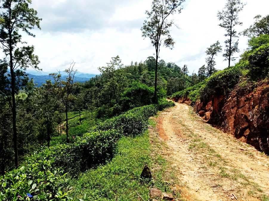
The next 2 km are a gradual and very pleasant ascent to the trail that circumvents the top of the hill. The flat playground rises approximately 200 meters to the highest point along the wide and clear tea trail, wrapping around the hill as it goes. The 6.5 km point is the highest point of the stage with fabulous views back towards Demodara and Ella. This is definitely the place to stop for those snacks and a refreshing drink.
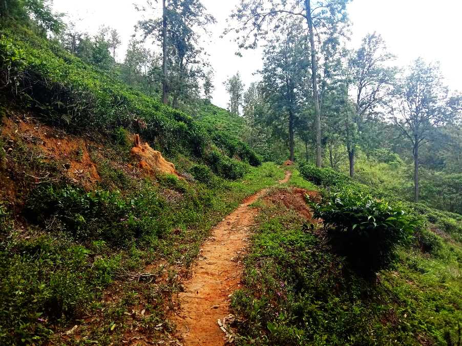
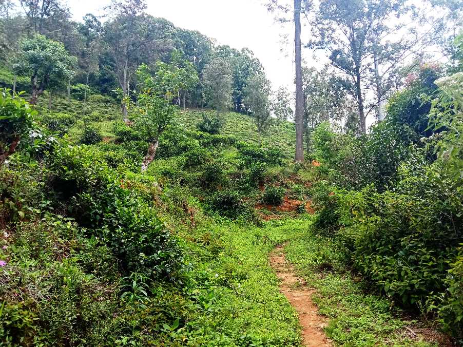
The trail we are on for nearly the rest of today is clear and the views, as you gradually descend towards Hali-Ela, are idyllic. This is a very rarely visited part of the tea country, yet adorable. The next 3 km are fairly straight and all downhill. At the 8 km point, we arrive at a junction beside a stunning gigantic purple Bougainvillea. We take the ‘second exit’, leading straight down a leafy path. The next few hundred meters offer plenty of well-deserved shade, as the trail runs through a patch of forest with enormous trees everywhere.
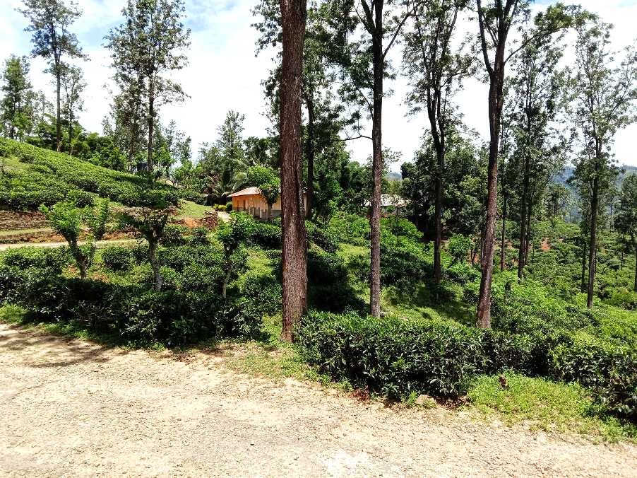
At the 9 km point, there is a large tea-weighing station and the trail turns back on itself, while descending further. A few hundred meters later we find ourselves in the village of tea workers that serve the Rosette Estate. Just over 4 km to go.
As we exit the village, we follow the narrow tarmac road heading towards the Unugalle Estate. At the 11.2 km point, we arrive at a crossroads and keep going down the narrow tarmac road. Watch out for the turn down a trail to your left at the 11.4 km point; it’s a ‘shortcut’ that will save 300 meters – the path connects to the same road below, but, if you are more comfortable on the road, keep going.
At the 12.1 km point, we arrive at the Uva Planters’ Club; a truly historic landmark of the Uva region. Known at its inception as the Uva Gymkhana Club, it was founded in 1880 and is still very active. According to the information published on its Facebook page, the club counts 145 members, comprising the planting business and professional community. For more information, do visit their Facebook page. Here is an interesting passage from the history of the club:
‘The Uva Club was the focal point of the social life of the expatriate planter. It was founded before the railway was opened as far as Haputale in September 1894 and eventually reached Badulla in April 1924. Much of the development would have been initiated, shared, discussed, and planned at these social gatherings at the club.’
As we exit the Uva Planters’ Club, we will see a small road on our right leading to the Unugala Hospital. We follow the tarmac road until the 12.5 km point and take the steps down to the train station. If you feel more comfortable on the tarmac road keep going as it takes you to the train station as well. Hali-Ela Train station marks the end of the stage.
PLEASE TAKE ALL YOUR RUBBISH WITH YOU AND IF YOU SEE ANY RUBBISH OTHERS LEFT BEHIND TRY TO TAKE IT - EVEN IF JUST A BOTTLE OR A PLASTIC BAG, EVERY BIT COUNTS - THANK YOU.
The Pekoe Trail is designed to support development and livelihoods in rural areas of Sri Lanka. Buying goods and services from local businesses helps communities along the trail to thrive.
Stage head to end elevation

Gallery