Stage 16 · Ella
Ella ⇌ Demodara
- Distance
- 9.50 km (5.90 mi)
- Duration
- 4 hours
- Difficulty
- Easy
- Elevation gain
- 410 m
- Max elevation
- 1,066 m
- People interaction
- High
- Family friendly
- Yes
- Status
- Open
About this stage
STAGE IS OPEN – signage is in place and trail conditions are actively monitored.
TRAIL PASS: Now mandatory to walk this stage and can be purchased online at https://members.thepekoetrail.org/passes/create. Pekoe Trail Members are not required to buy a pass. If you would like to explore membership opportunities https://members.thepekoetrail.org
IMPORTANT NOTE: The stage is walkable and signposted. Look out for orange circles with a white arrow for directional signs and just the orange circle for way markers. Trail users are advised to consider all the information available and to heed local advice when available. The services of a professional trail guide is recommended. Trail users are responsible for all decisions as to the trail routes, trail conditions, weather, and safety. In addition to the hazards posed by steep terrain and mountain weather, hikers should be prepared for difficult route-finding and challenging trail conditions, dogs, leaches, heavy rain, intermittent thunderstorms, and plenty of sun. It is recommended to drink plenty of water when hiking. Access to emergency medical care and rescue is not always immediately available. Please ensure to carry your essential requirements such as, but not limited to, water, medicines, rations, and a raincoat with you at all times.
Please download the latest version of the map before navigating the stage to avoid missing out on any re-routing.
-----------------
DESCRIPTION OF THE STAGE
Ella draws travelers to Sri Lanka's highlands with its mountain forests, tea plantations, and relatively cool climate and is a very popular stop, start, or ending point along the trail. Starting at the train station, today’s walk to Demodera is very doable and very easy. It is one of the shortest stages of The Pekoe Trail and one of the most popular ones.
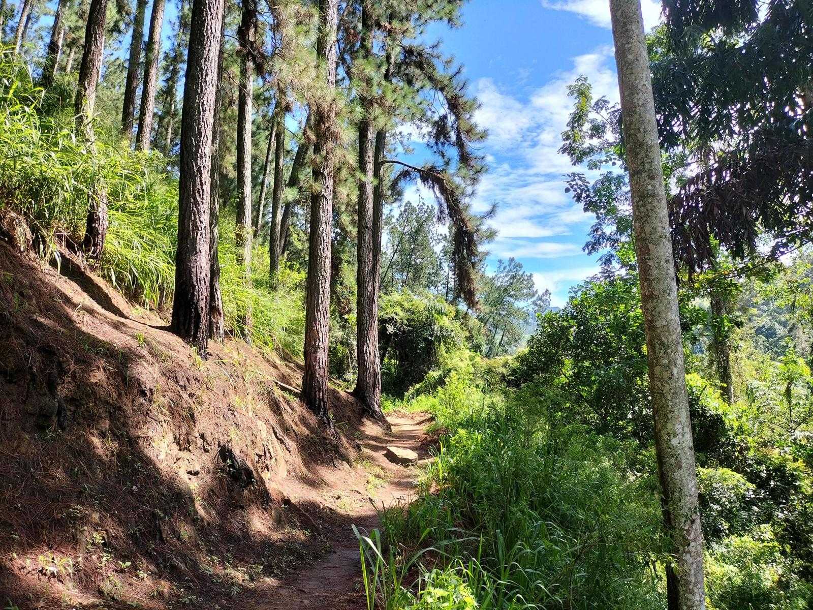
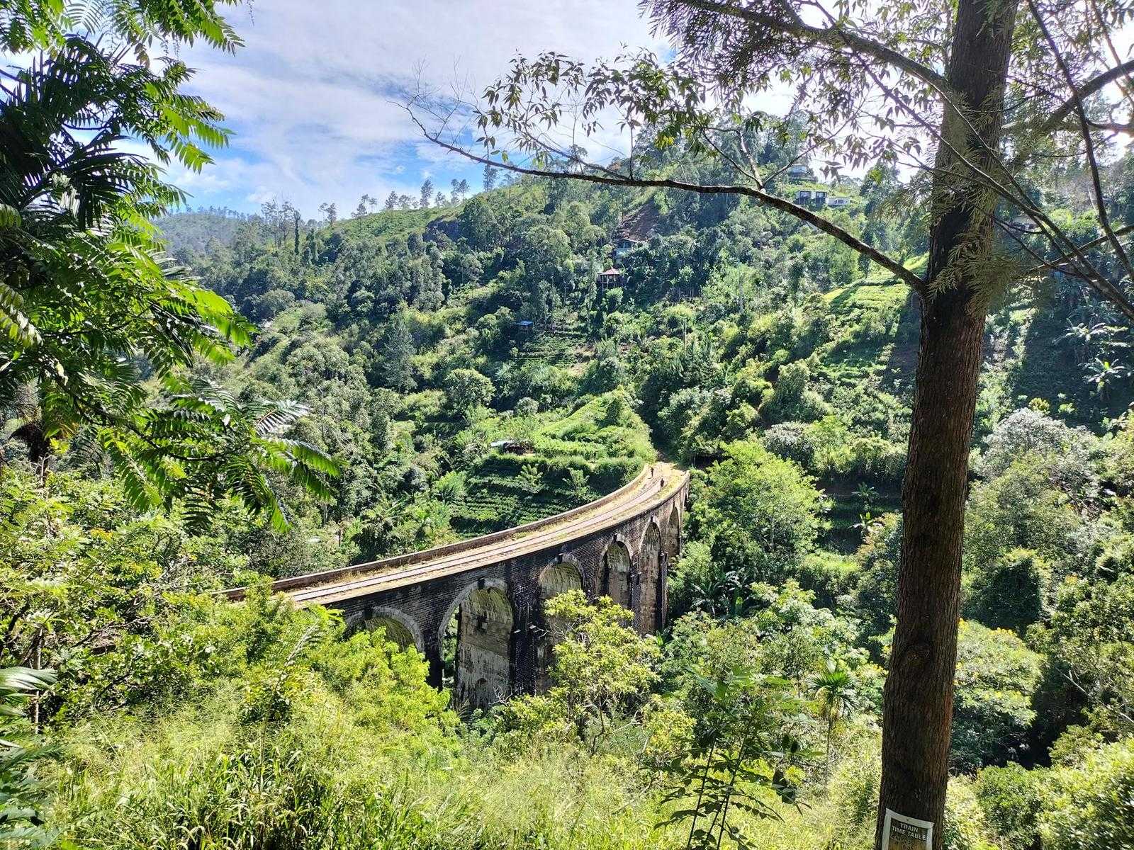
As you leave Ella town walking along the Passara Road, look for a track that forks to the left. Follow the train through the Ella Forrest Reserve for approximately 2 km at which point you will see the famous Nine Arches Bridge. This is a popular trail. You will be sure to meet a few other hikers on their way to or from the Nine Arches Bridge. The bridge is hauntingly beautiful and a major tourist attraction.
This exceptional Nine Arches Bridge is known as the bridge in the sky and is 80 feet high, and 300 feet long. The bridge was built during the colonial period in extremely challenging times as the original materials meant for creating it such as steal were allegedly relocated by Britain to resource the Great War. So instead in the end only made out of stone, brick and cement.
Cross the bridge and walk on the railway line for 100 meters and then you will see a small path to your right. The next 50 meters are the most strenuous part of today’s walk as we climb steps amidst the houses of the local village. Soon you’ll be on the village road and the hard climb will be over. There is a lovely family living at the junction – they offer fresh juice if you need one at this stage. The views of the Nine Arches Bridge from this point are fabulous. You would have now seen this marvel from east and west.
The next half a kilometer is a gradual ascent along a village road towards the main junction. Ahead of you is the Newburgh Tea Factory. At the junction, there is a large gate giving access to The Secret Ella Hotel. Here we dog leg left and begin a 2 km descent along a village road with a few guesthouses and village homes on each side. At the very bottom, it zig-zags down towards the chena cultivations you see below and the tea estate in front of you.
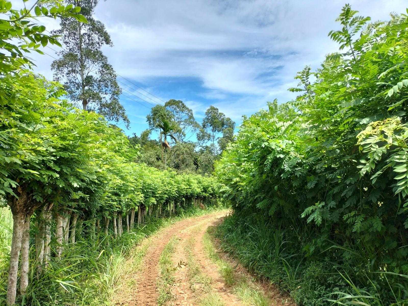
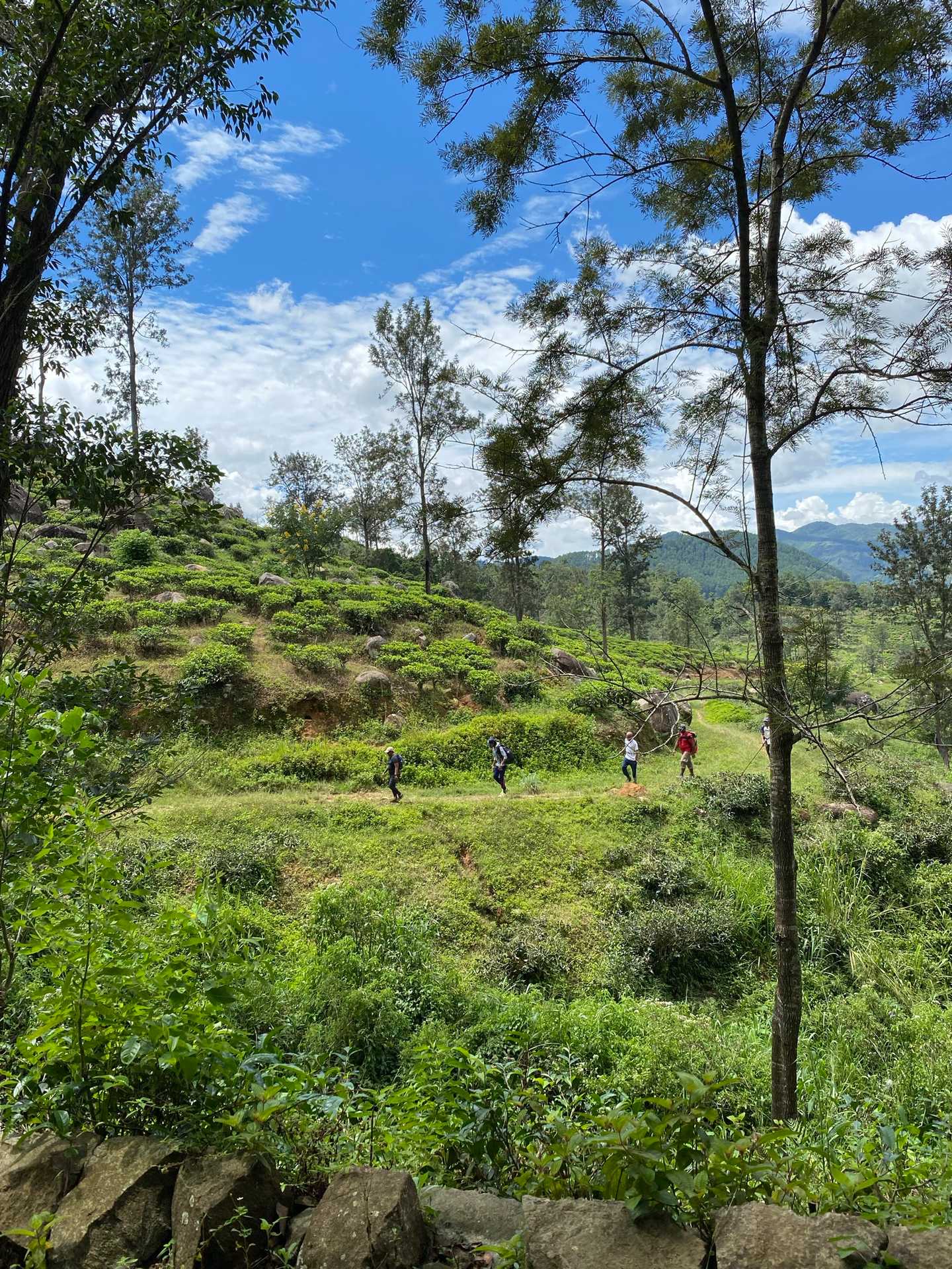
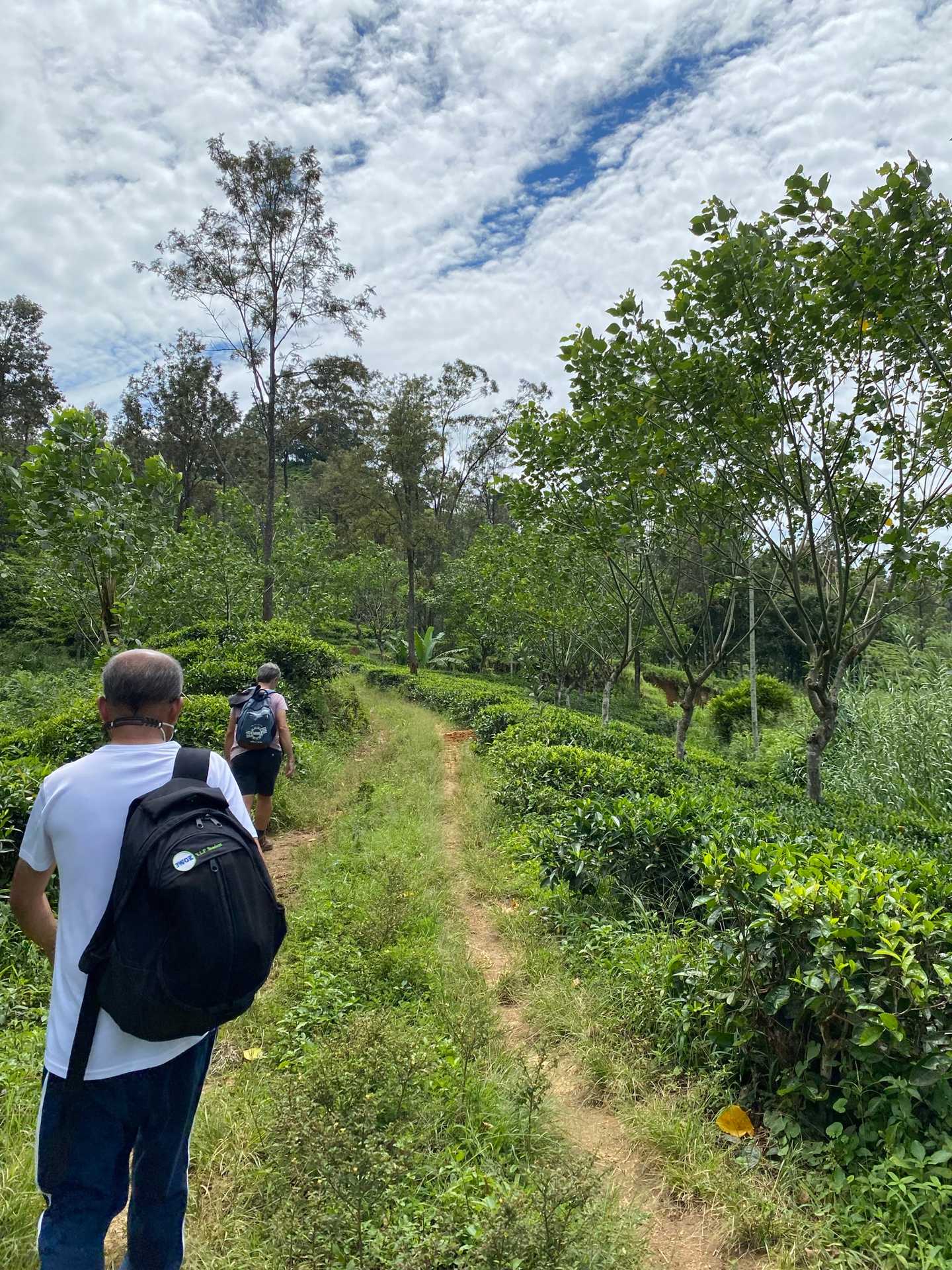
We enter the Demodara Tea Estate and walk upon a lovely tea trail and at the 4.5 km point, we leave the main trail and take a second one to our left. Look back and you’ll see the Nine Arches Bridge again but this time much further away. We follow this track for half a kilometer until we reach a small Buddhist shrine. Along the way, you’ll pass by the modest home of a cheerful family and no doubt hear the ‘maa’ greeting of the family of goats they care for.
Once you’re back on the main tea trail running through the Demodara estate we loop around this lovely estate for approximately 3 km. You’ll see a lovely lake on your left as you descend toward Demodara. Once we reach the small tarmac road take the track on the left-hand side that leads to Nine Skies Bungalow. As you approach the village you will see the main street down on the left-hand side.
The trail dog-legs down 30 meters of steps onto the railway track, a few hundred meters from the end of the stage.
This is the story of this intriguing feat of engineering:
Demodara railway station is known for its spiral rail line at this location, popularly known as the 'Demodara Loop'. The rail line passes under itself, going around the loop and emerging from a tunnel. The rail loop is approximately 900 meters.
“During construction, the engineers found that elevation between the hills at Demodara was too much for the track to negotiate, with the maximum inclination allowed by the Ceylon Government Railway being one foot per 44 feet (1/44), an innovative track design had to be devised. Local folklore has it that one of the engineers, Devapura Jayasena Wimalasurendra, was inspired after observing a Kankany (supervisor) in a local tea estate undo his turban and re-tie it around his head” (Wikipedia)
If you are doing this trail as a day trip from Ella you can ask your driver to pick you up at the Demodara Train Station or take a tuk-tuk back. Even better, take the train back to Ella. You will find the train times at the station.
PLEASE TAKE ALL YOUR RUBBISH WITH YOU AND IF YOU SEE ANY RUBBISH OTHERS LEFT BEHIND TRY TO TAKE IT - EVEN IF JUST A BOTTLE OR A PLASTIC BAG, EVERY BIT COUNTS - THANK YOU.
-----------------
The Pekoe Trail is designed to support development and livelihoods in rural areas of Sri Lanka. Buying goods and services from local businesses helps communities along the trail to thrive.
Stage head to end elevation

Gallery