Stage 13 · Haputale
Haputale ⇌ St. Catherine
- Distance
- 14.60 km (9.07 mi)
- Duration
- 4 hours
- Difficulty
- Difficult
- Elevation gain
- 810 m
- Max elevation
- 1,931 m
- People interaction
- Low
- Family friendly
- Yes
- Status
- Open
About this stage
STAGE IS OPEN – signage is in place and trail conditions are actively monitored.
TRAIL PASS: Now mandatory to walk this stage and can be purchased online at https://members.thepekoetrail.org/passes/create. Pekoe Trail Members are not required to buy a pass. If you would like to explore membership opportunities https://members.thepekoetrail.org
IMPORTANT NOTE: The stage is walkable and signposted. Look out for orange circles with a white arrow for directional signs and just the orange circle for way markers. Trail users are advised to consider all the information available and to heed local advice when available. The services of a professional trail guide is recommended. Trail users are responsible for all decisions as to the trail routes, trail conditions, weather, and safety. In addition to the hazards posed by steep terrain and mountain weather, hikers should be prepared for difficult route-finding and challenging trail conditions, dogs, leaches, heavy rain, intermittent thunderstorms, and plenty of sun. It is recommended to drink plenty of water when hiking. Access to emergency medical care and rescue is not always immediately available. Please ensure to carry your essential requirements such as, but not limited to, water, medicines, rations, and a raincoat with you at all times.
Please download the latest version of the map before navigating the stage to avoid missing out on any re-routing.
-----------------
DESCRIPTION OF THE STAGE
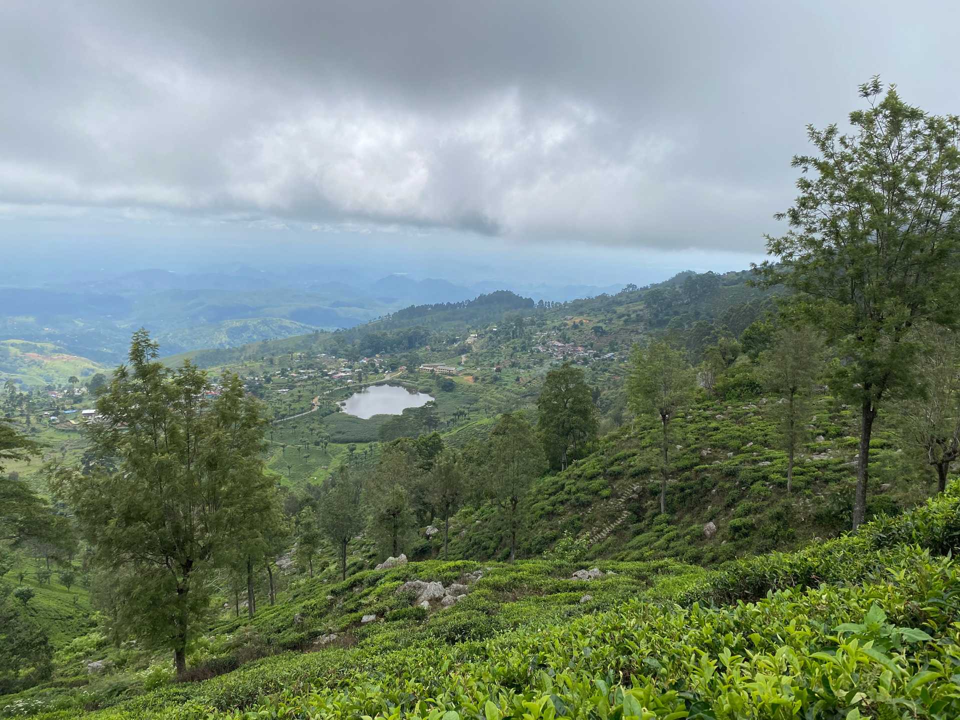
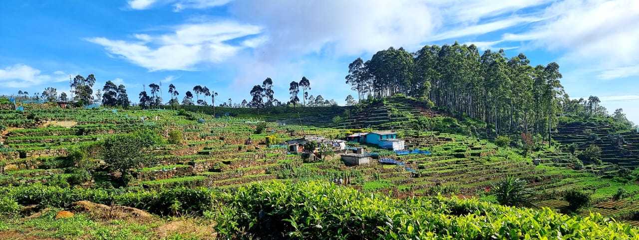
This is a very scenic route that takes you from one of the major towns in the tea country, Haputale, to one of the tea country's better-known landmarks, the upper divisions of the Nayabedda Tea Estate from where Sir Thomas Lipton would survey his favorite tea estates, where the panoramic views of the mountains, and rivers are truly breath-taking.
The 500 meters as you exit the town is on the main road towards Bandarawela. At the Post Office, we turn right up towards The Forestry Department office and bungalow. 100 meters after you pass the bungalow there is a signboard and a few steps peeling off to the right. The next kilometer is a forest reserve, cool and humid – ideal for walking uphill in the shade. The trail resolves onto a tea estate road.
At the 2.2 km point, you can either take the steps up for approximately 100 meters or take the long way around the path. At the 2.3 km point, be mindful to follow the exact markings on the GPS here to take the correct route. There are steps going up that you need not take, but instead, follow the smaller track to your right as you look upwards towards the mountain. Soon you will realize you are in another valley, the Thotalagala - Dambatenne Valley. Lipton Seat is across the valley in front of you.
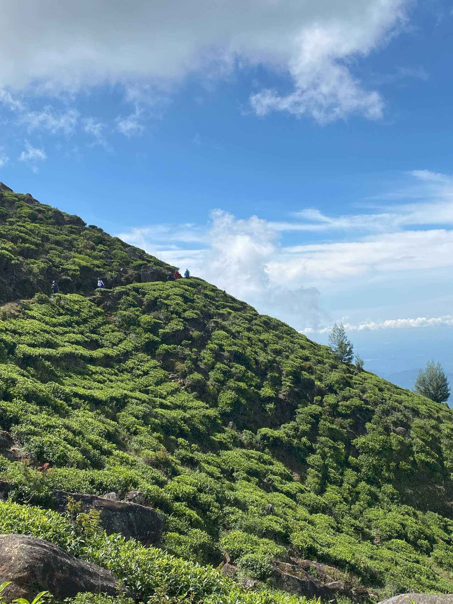
The trail gradually descends for 300 meters and then you'll start climbing uphill following a very well-marked and beautiful tea trail. You are walking on the paths of an organic bio-tea producing estate called Green Field. At the 5 km mark, we leave the wider trail and take a left on a much thinner track. From there on it's a fairly straightforward, more or less flat walk until the 11th kilometer. The views across the valley to Lipton Seat are fabulous all the way.
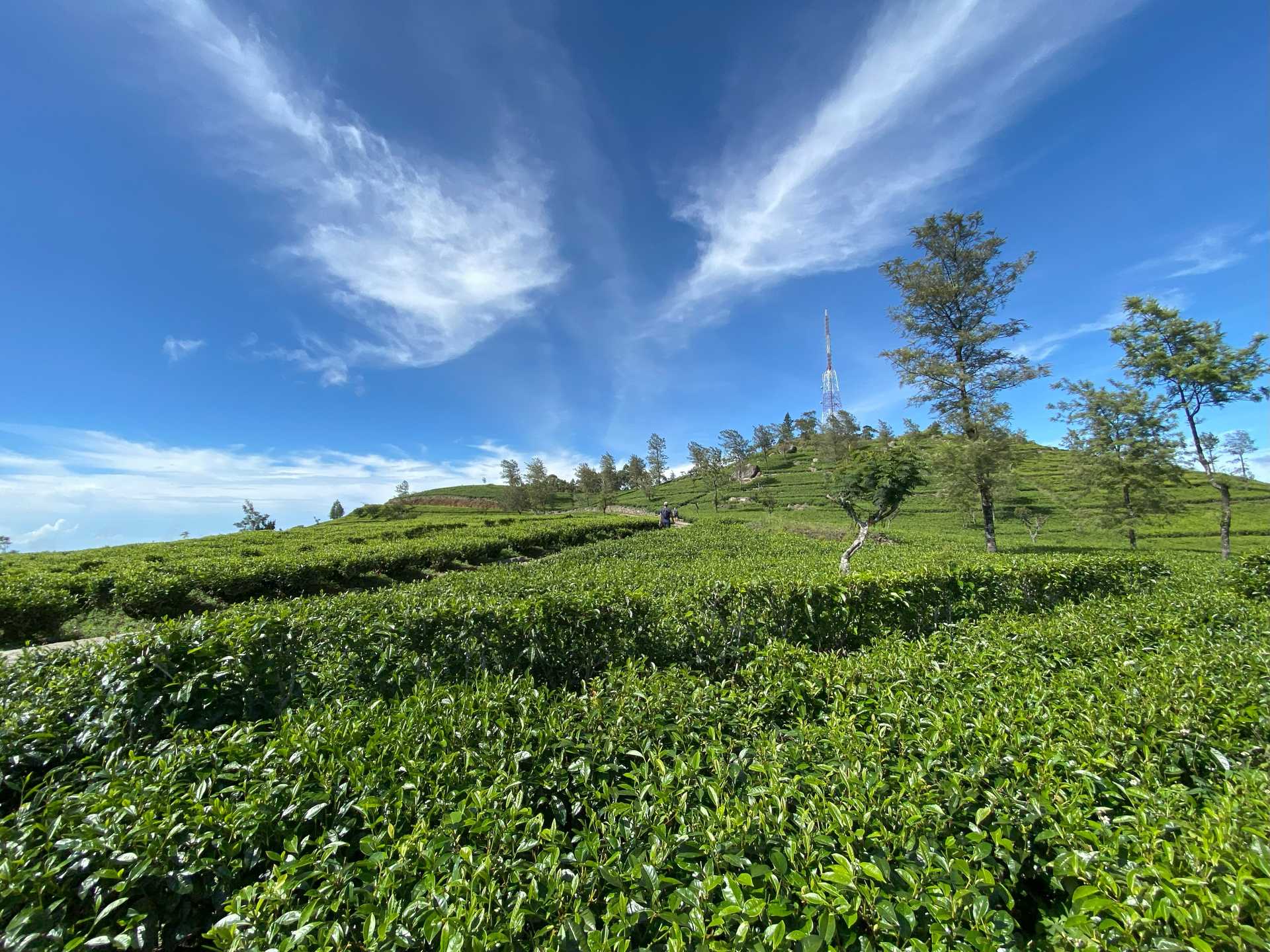
Now we start a much steeper climb towards the top of the mountain. Your guide is the telecom tower on the top. You will eventually reach the top of the mountain which is more or less at the same height as Lipton Seat. You've reached a kind of plateau with lots of green tea fields and a few small villages.
Today's stage ends at St. Catherine, the first picturesque tea plantation worker's village you will encounter on the upper divisions of the Nayabedda Tea Estate, at an altitude of 1875 meters. 100 meters before you enter the village there's an impressive Hindu Kovil on your right. Remember to take your shoes off if you decide to enter the complex and pay homage to the deities.
Some may want to keep walking and visit Lipton Seat, it's another 3 km across the plateau. Lipton Seat is a popular destination for local tourists so you might see a little bit of traffic at the end. Close to the top, there is an entrance fee to be paid. At the time of writing it was 100 LKR. The final rugged walk uphill to see Lipton’s seat requires taking a picture of yourself with a statue of Sir Thomas Lipton surrounded by panoramic views. On a clear day, one can see as far as Udawalawe National Park and almost the entire Uva Province.
PLEASE TAKE ALL YOUR RUBBISH WITH YOU AND IF YOU SEE ANY RUBBISH OTHERS LEFT BEHIND TRY TO TAKE IT - EVEN IF JUST A BOTTLE OR A PLASTIC BAG, EVERY BIT COUNTS - THANK YOU.
The Pekoe Trail is designed to support development and livelihoods in rural areas of Sri Lanka. Buying goods and services from local businesses helps communities along the trail to thrive.
Stage head to end elevation

Gallery
.png)
.png)
.jpg)