.JPG)
Stage 11 · Ohiya
Horton Plains ⇌ Udaweriya
- Distance
- 14.30 km (8.89 mi)
- Duration
- 4 hours
- Difficulty
- Moderate
- Elevation gain
- 340 m
- Max elevation
- 2,170 m
- People interaction
- High
- Family friendly
- No
- Status
- Open · 07:00–18:00
About this stage
STAGE IS OPEN – signage in place and trail conditions actively monitored.
TRAIL PASS: Now mandatory to walk this stage and can be purchased online at https://members.thepekoetrail.org/passes/create. Pekoe Trail Members are not required to buy a pass. If you would like to explore membership opportunities https://members.thepekoetrail.org
IMPORTANT NOTE: Access to the Horton Plains National Park is restricted. You may only enter by purchasing a ticket at the Dayagama entrance or Ohiya entrance before entering the park and paying the entrance fee which costs approximately USD 45 (subject to exchange rate fluctuations). Entrance fees to Horton Plains allows you to not only walk Stage 10 of The Pekoe Trail but also;
*The Bakers Falls trail
*The World's End trail loop
*Summit Kirigalpotha (2nd highest peak in SL)
*Summit Thotupola Kanda
Do note that entry to the park from this stage is not possible after 2 pm. For more information please refer to the website of the Department of Wildlife Conservation. http://www.dwc.gov.lk/.
Hikers planning to access the Devil’s Staircase section are kindly requested to note the following entry fees:
Adults: LKR 400
Children: LKR 200
These charges are applicable at the point of entry and may be collected by the relevant local authorities or management.
We recommend carrying small cash to ensure a smooth and uninterrupted hiking experience.
IMPORTANT NOTE: The stage is walkable and signposted. Look out for orange circles with a white arrow for directional signs and just the orange circle for way markers. Trail users are advised to consider all the information available and to heed local advice when available. The services of a professional trail guide is recommended. Trail users are responsible for all decisions as to the trail routes, trail conditions, weather, and safety. In addition to the hazards posed by steep terrain and mountain weather, hikers should be prepared for difficult route-finding and challenging trail conditions, dogs, leaches, heavy rain, intermittent thunderstorms, and plenty of sun. It is recommended to drink plenty of water when hiking. Access to emergency medical care and rescue is not always immediately available. Please ensure to carry your essential requirements such as, but not limited to, water, medicines, rations, and a raincoat with you at all times.
Please download the latest version of the map before navigating the stage to avoid missing out on any re-routing.
-----------------
DESCRIPTION OF THE STAGE
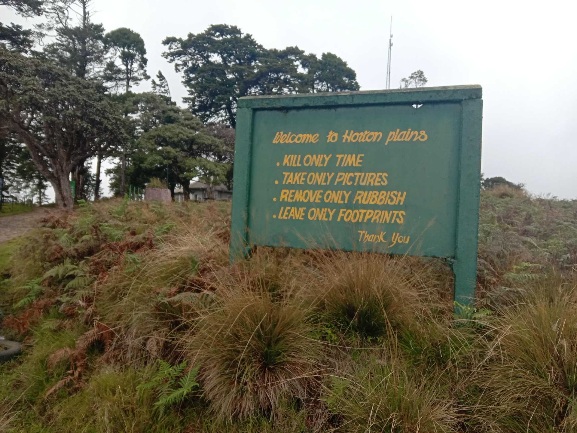
Today’s stage starts at the Farr Inn, the old hunting lodge for high-ranking British colonial officials turned into a visitor center. Now run by the Department of Wildlife Conservation, the old inn is situated next to the car park from which almost all visitors start the walk to World's End.
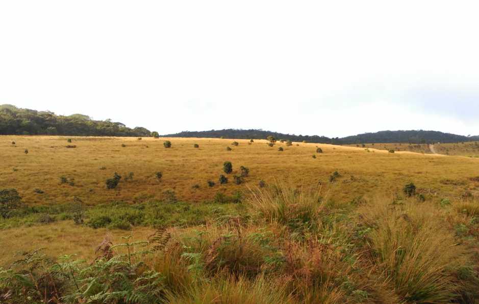
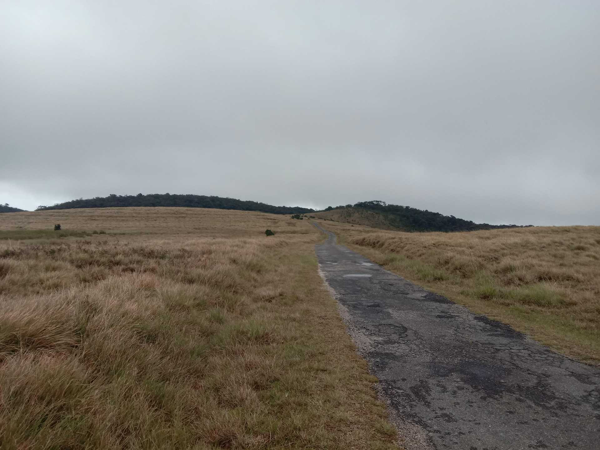
We are at the highest point of the entire Pekoe Trail at an elevation of 2170 meters. Depending on the time of the year or even the time of the day it can be cold, windy, misty, or open skies. During May through to December, clouds roll over the plains from eastward so close to the ground you feel you can touch them. In January and February, the skies are blue, the air is dry and the sun beats down like the African savannah.
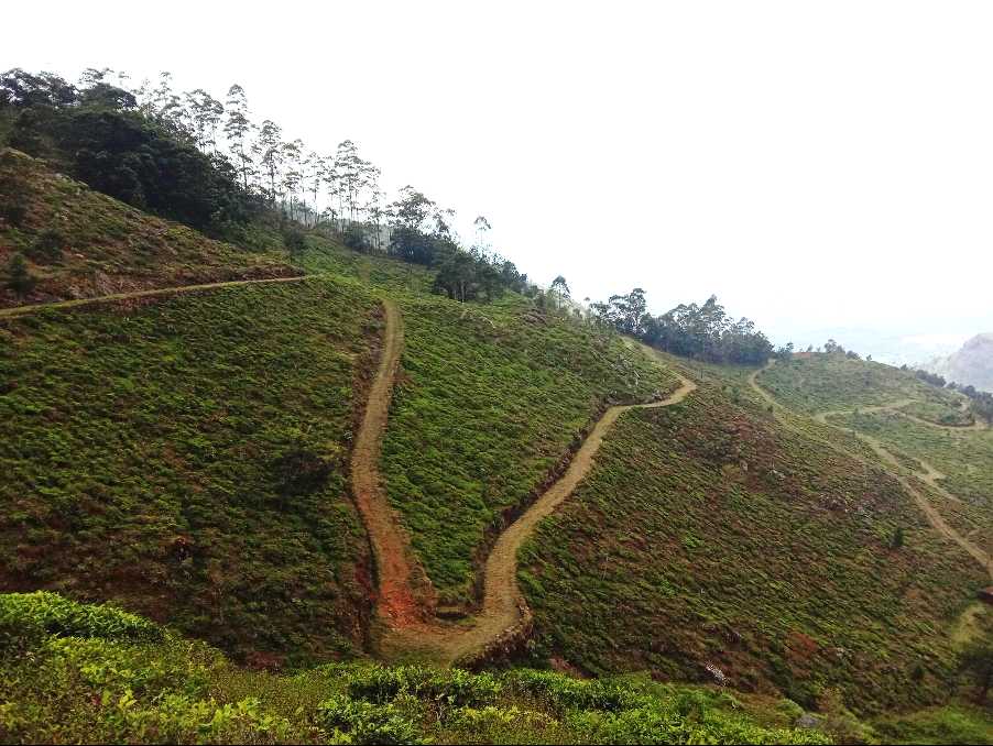
We head along the road towards Ohiya. At the 4.8 km point, we exit through the park’s eastern gate soon after which the road begins to zig-zag down. At the 6.3 km point there is a dirt track that peels off to your right through a small section of woods, take it – this is the beginning of the famous “Devil's Staircase”, the steepest descent of The Pekoe Trail.
The name Devil's Staircase was most likely given by Scottish Planters living in the area and taken from the long-distance footpath on the West Highland Way in the Scottish Highlands. There are other so-called “Devil Staircases” in various parts of the world, one in New Zealand and one in the state of Oregon. around the world, the good news is that there are no stairs! It’s a track.
The Devil's Staircase is often described as a 14 km trail starting way down off the main Balangoda-Haputale Road and ending at the entrance of the Horton Plains National Park. There are tour companies that offer hiking the staircase as an activity and the path is perfectly suited for hikers, but definitely not for a motorized vehicle.
The Pekoe Trail covers only the top section of the Devil's Staircase – from the point at which the track meets the Ohiya-Horton Plains road to a small village from where a trail cuts across the mountain around and over to the Udaweriya Valley. The views are truly breath-taking, all the way down and as you semi-circle around the mountain. On a clear day we can see Udawalawe National Park and beyond we might even see the coastline.
Around the 11 km point, we leave one remote valley behind and enter the next. This is the lowest point of today’s walk at an elevation of 1618 meters. We call this valley the ‘hidden valley’ because it lies on the very edge of the tea country and is south-facing. The topography is so dramatic there are very few south-facing tea growing valleys in this area.
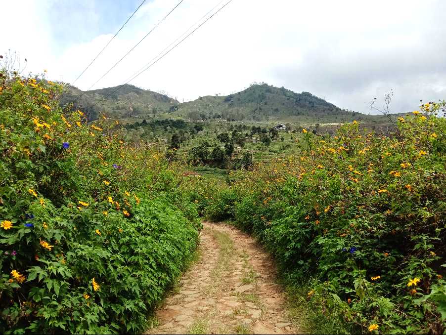
At the 11.2 km point, we walk past the Udaweriya Manager’s Bungalow which at the time of writing was empty but still very well kept. As we begin to ascend we look inwards and upwards at the old and abandoned Udaweriya Tea Factory, now largely a skeleton of steel beams. We keep on hiking up the trail towards a clear pass, through neat terraces of vegetables planted left and right. Small local homes are dotted around the valley.
At the 12.4 km point, we pass by a small church. Most of the inhabitants of this particular valley are Christian. Today’s stage ends at the old and abandoned Ohiya Tea Factory 400 meters further on.
--PLEASE TAKE ALL YOUR RUBBISH WITH YOU AND IF YOU SEE ANY RUBBISH OTHERS LEFT BEHIND TRY TO TAKE IT - EVEN IF JUST A BOTTLE OR A PLASTIC BAG, EVERY BIT COUNTS - THANK YOU.
-----------------
The Pekoe Trail is designed to support development and livelihoods in rural areas of Sri Lanka. Buying goods and services from local businesses helps communities along the trail to thrive.
Stage head to end elevation

Gallery
.JPG)