-min.jpeg)
Stage 10 · Haputale
Dayagama ⇌ Horton Plains
- Distance
- 15.88 km (9.87 mi)
- Duration
- 4 hours
- Difficulty
- Difficult
- Elevation gain
- 983 m
- Max elevation
- 2,141 m
- People interaction
- Low
- Family friendly
- No
- Status
- Open · 07:00–14:00
About this stage
STAGE IS OPEN – signage in place and trail conditions actively monitored.
TRAIL PASS: Now mandatory to walk this stage and can be purchased online at https://members.thepekoetrail.org/passes/create. Pekoe Trail Members are not required to buy a pass. If you would like to explore membership opportunities https://members.thepekoetrail.org
IMPORTANT NOTE: You may only enter the Horton Plains National Park by purchasing a ticket at the Dayagama entrance or Ohiya entrance before entering the park and paying the entrance fee which costs approximately USD 45 (subject to exchange rate fluctuations). Entrance fees to Horton Plains allows you to not only walk Stage 10 of The Pekoe Trail but also;
*The Bakers Falls trail
*The World's End trail loop
*Summit Kirigalpotha (2nd highest peak in SL)
*Summit Thotupola Kanda
Do note that entry to the park from this stage is not possible after 2 pm. For more information please refer to the website of the Department of Wildlife Conservation. http://www.dwc.gov.lk/.
The stage is walkable and signposted. Look out for orange circles with a white arrow for directional signs and just the orange circle for way markers. Trail users are advised to consider all the information available and to heed local advice when available. The services of a professional trail guide is recommended. Trail users are responsible for all decisions as to the trail routes, trail conditions, weather, and safety. In addition to the hazards posed by steep terrain and mountain weather, hikers should be prepared for difficult route-finding and challenging trail conditions, dogs, leaches, heavy rain, intermittent thunderstorms, and plenty of sun. It is recommended to drink plenty of water when hiking. Access to emergency medical care and rescue is not always immediately available. Please ensure to carry your essential requirements such as, but not limited to, water, medicines, rations, and a raincoat with you at all times.
Please download the latest version of the map before navigating the stage to avoid missing out on any re-routing.
-----------------
DESCRIPTION OF THE STAGE
Today is physically and mentally demanding, and also logistically challenging. We start at Dayagama, one of the most remote villages in the tea country. Dayagama lies at the far end of the Agarapatana Valley. Very few tourists venture this far – this is a deep tea country experience. Even though the valley lies in the very center of the mountain ranges that form the Sri Lankan tea country, it doesn’t get more remote than this.
You will need someone to pick you up at the endpoint, the old Far Inn, which is inside Horton Plains National Park. The drive from the starting point to the endpoint is a long one. As the crow flies it's only 15 km however the main road loops back towards Nuwara Eliya and then back on itself – a total of 65km to get from Dayagama to Horton Plains. Your driver will probably only arrive shortly before you do.
The day is physically demanding because it is mostly uphill. The trail is wide and easy to follow and the gradient is manageable. Dayagama lies at 1421 meters above sea level and Horton Plains National Park at 2138 meters above sea level.
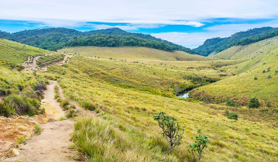
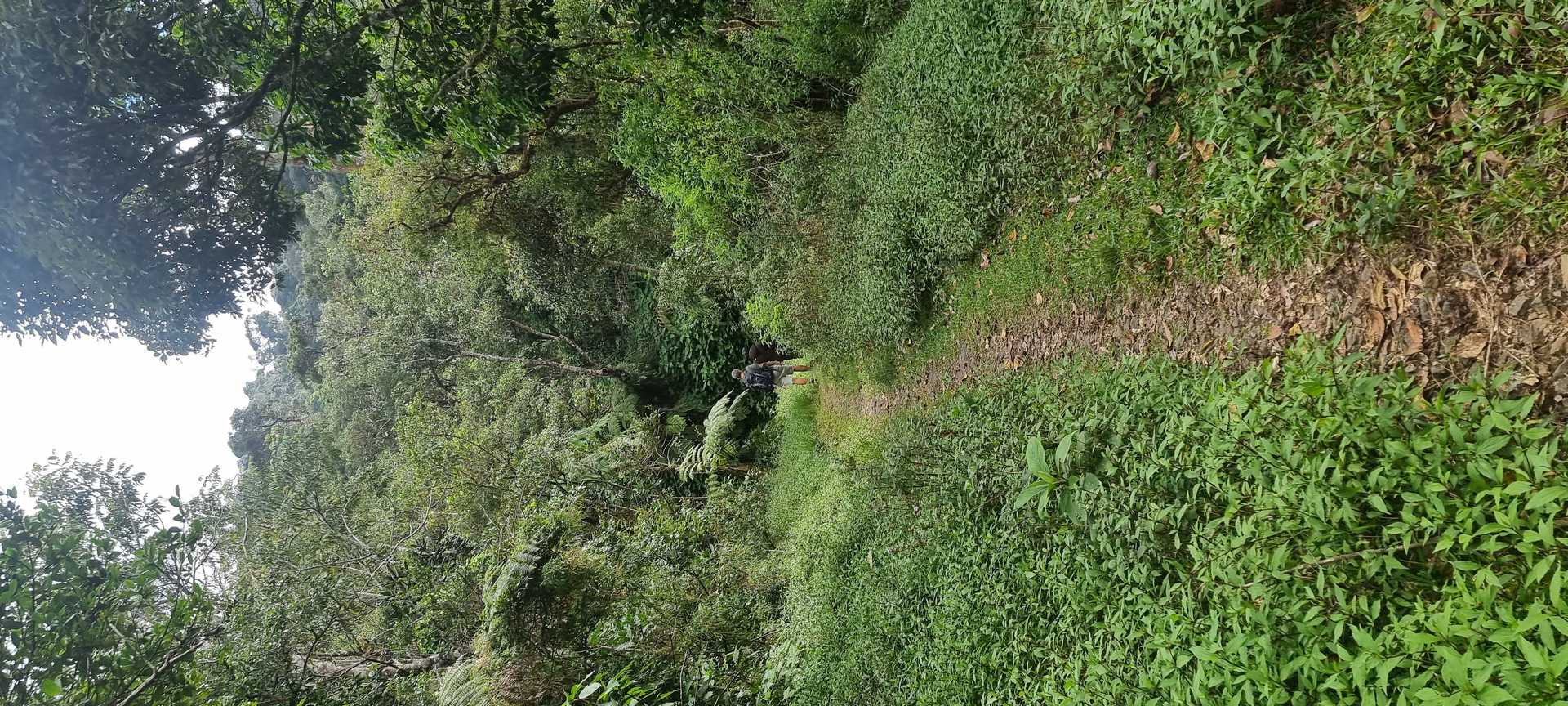
We leave Dayagama town heading east toward the end of the valley. The 9.5 km of the trail are tea trails that are wide and easy to follow. We walk towards the dense forest ahead of us. At the 9.5 km point, we enter the Horton Plains National Park.
A very important point to note: Access to the Horton Plains National Park is restricted. You may only enter by paying your entrance fee. If you do not have an entrance ticket you must purchase one. Entrance tickets are sold at the entrance to the park on Nuwara Eliya Road and on the road to Ohiya. The park is governed by strict regulations as there is wildlife and it is a very sensitive eco-system. For more information please refer to the website of the Department of Wildlife Conservation. http://www.dwc.gov.lk/. It is extremely important to travel in a group and ideally with the services of a national guide through the entire Horton Plains National Park.
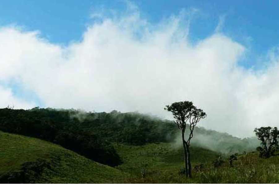
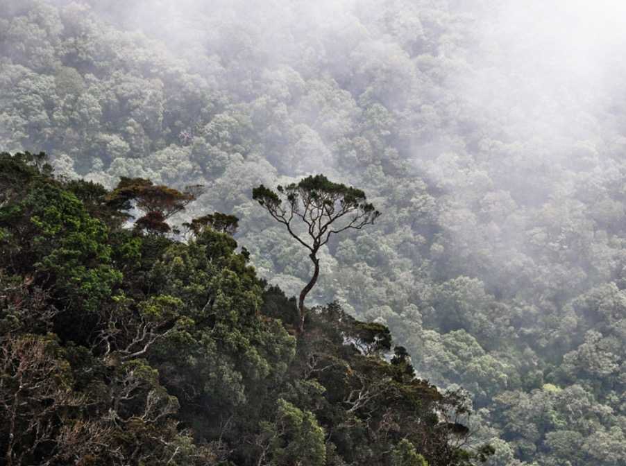
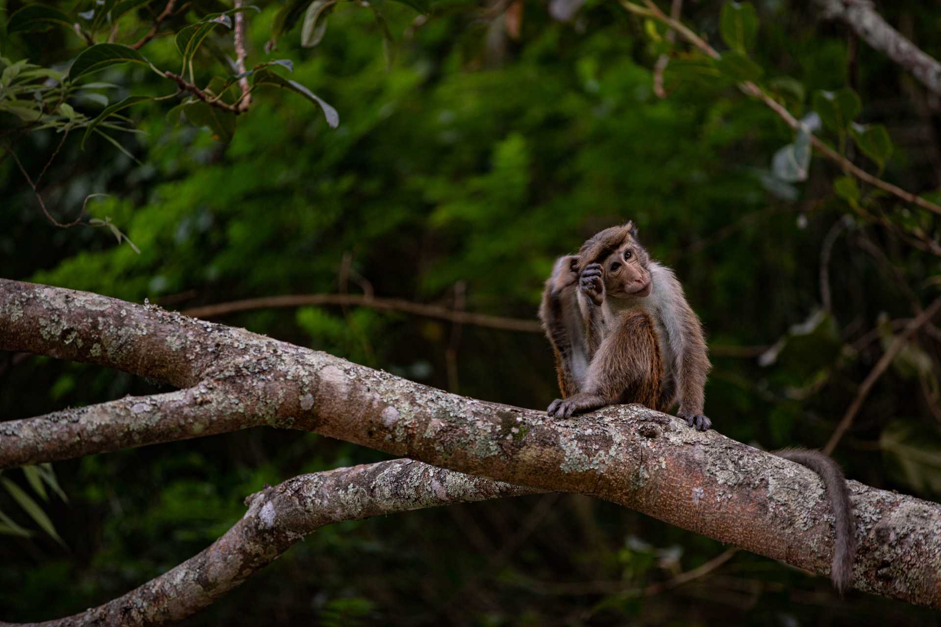
As soon as you enter the park the trail twists and turns up the valley through dense high-elevation rainforest. You’ll hear the noises of the jungle as it is the habitat of monkeys, deer, leopards, and a number of endemic bird species. At the 14.5 km point, the trail joins the main road that traverses the park, and 500 meters ahead is the endpoint.
PLEASE TAKE ALL YOUR RUBBISH WITH YOU AND IF YOU SEE ANY RUBBISH OTHERS LEFT BEHIND TRY TO TAKE IT - EVEN IF JUST A BOTTLE OR A PLASTIC BAG, EVERY BIT COUNTS - THANK YOU.
The Pekoe Trail is designed to support development and livelihoods in rural areas of Sri Lanka. Buying goods and services from local businesses helps communities along the trail to thrive.
Stage head to end elevation

Gallery
-min.jpeg)