Stage 1 · Kandy
Hantana ⇌ Galaha
- Distance
- 12.84 km (7.98 mi)
- Duration
- 4 hours
- Difficulty
- Easy
- Elevation gain
- 537 m
- Max elevation
- 1,070 m
- People interaction
- High
- Family friendly
- Yes
- Status
- Open
About this stage
STAGE IS OPEN – signage in place and trail conditions actively monitored.
TRAIL PASS: Now mandatory to walk this stage and can be purchased online at https://members.thepekoetrail.org/passes/create. Pekoe Trail Members are not required to buy a pass. If you would like to explore membership opportunities https://members.thepekoetrail.org
IMPORTANT NOTE: The stage is walkable and signposted. Look out for orange circles with a white arrow for directional signs and just the orange circle for way markers. Trail users are advised to consider all the information available and to heed local advice when available. The services of a professional trail guide is recommended. Trail users are responsible for all decisions as to the trail routes, trail conditions, weather, and safety. In addition to the hazards posed by steep terrain and mountain weather, hikers should be prepared for difficult route-finding and challenging trail conditions, dogs, leaches, heavy rain, intermittent thunderstorms, and plenty of sun. It is recommended to drink plenty of water when hiking. Access to emergency medical care and rescue is not always immediately available. Please ensure to carry your essential requirements such as, but not limited to, water, medicines, rations, and raincoat with you at all times.
Please download the latest version of the map before navigating the stage to avoid missing out on any re-routing.
-----------------
DESCRIPTION OF THE STAGE
The Pekoe Trail starts at the Ceylon Tea Museum on the Hantana Estate. The museum itself is well worth a visit. It occupies the shell of the old Hantana Tea Factory. There is ample space for parking and there are very good toilet facilities.
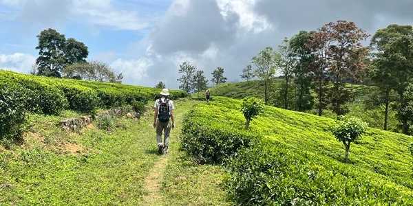
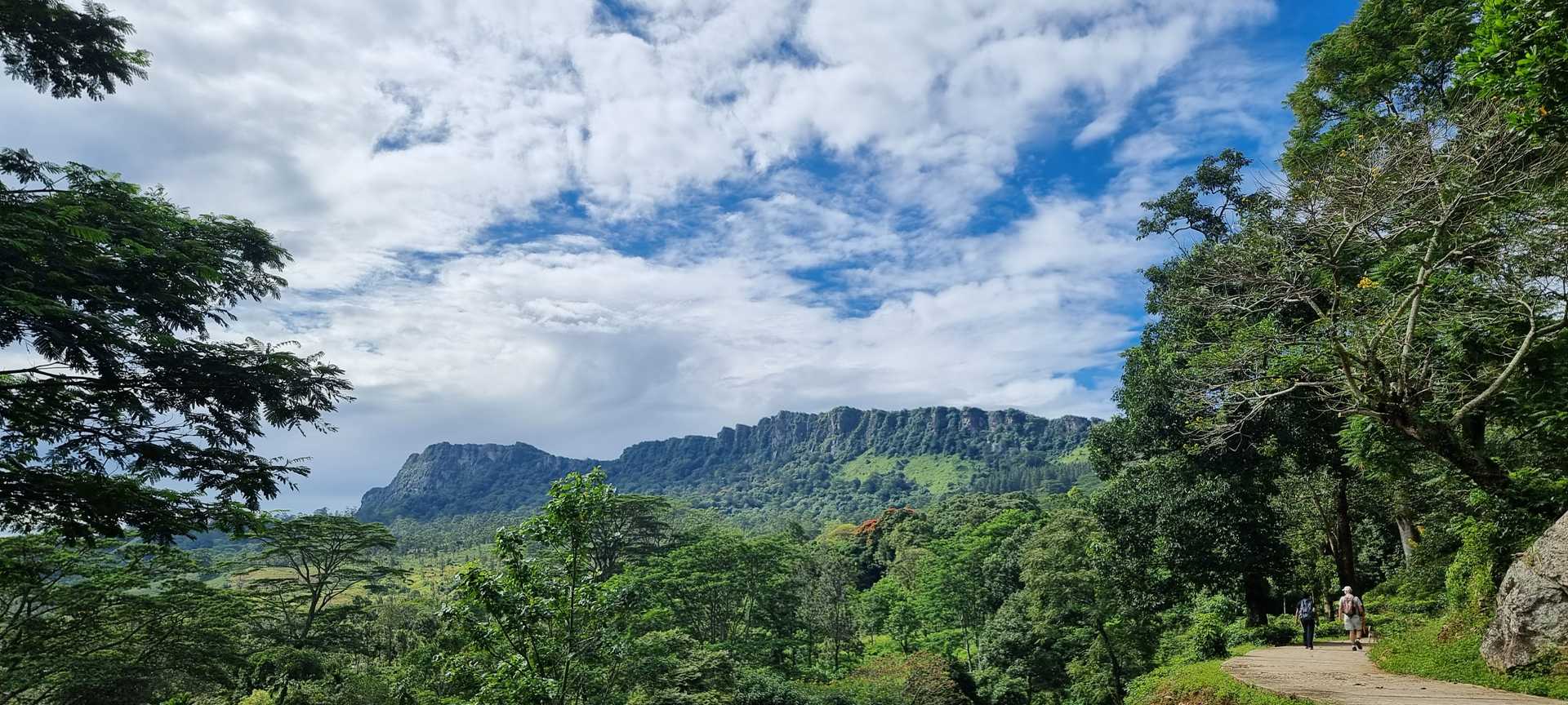
There is a track that heads up from the Ceylon Tea Museum towards the pass from the valley where Kandy is situated to the next valley, which we all know as the central tea plantations of Hantana, with its panoramic mountain range featuring seven peaks. At the 1.4 km point, we reach the crossroads. If you're already in the mood for a Thambili (King Coconut) or banana there is a small shop where you can replenish.
The Pekoe Trail follows the concrete path up towards the hotel W15 and the Hill Country Sport Shooting Club. The elevation gain is very gentle. At the 2.4 km point, there is a track that peels off to the left towards W15.
At the 3.1 km point as we turn around the bend you will see a small house behind a gate up on your right-hand side. You’ve arrived at the Sugarcane Quarantine center – yep! If you are carrying any sugarcane on you (as you do) how sure can you be that’s is safe and secure? If in doubt speak to these guys, your sugar cane can quarantine here - not a bad place to quarantine if you ask us!
Keep going on the track until the concrete gives way to gravel. There are a few cabanas on either side of the track.
At the 5.2 km point, there is a trail that peels off to the right towards a small stupa up in the mountain. This is a meditation center and therefore we would recommend avoiding contact so as not to disturb them.
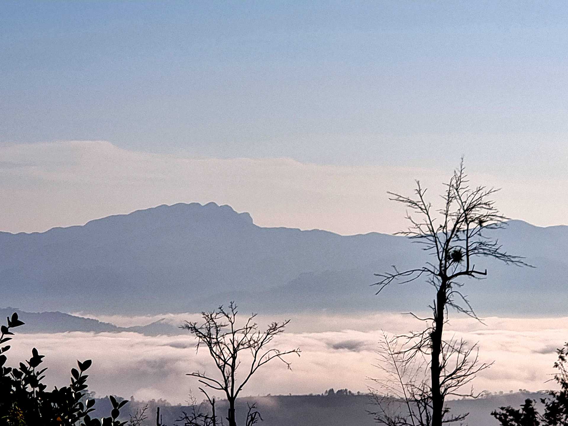
At the 5.7 km point, we reach the highest elevation point of today’s stage. The views on the way back towards Kandy are spectacular. On a clear day, you will see the Victoria Reservoir and the entire Knuckles Range to your left. It is impressive to realize the distance covered already.
The highest point of the trail today is at an elevation of 1,008 meters and the total elevation gain is only 383 meters. From there it's all downhill until we cross the river 1 km away from Galaha.
This area was used for backdrops in the making of Indiana Jones and the Temple of Doom, with Harrison Ford, who plays an eccentric archaeologist in this classic Hollywood adventure. As part of the plot, Harrison Ford is implored by a desperate Indian villager to retrieve a mysterious stone. Steven Spielberg filmed in Kandy and the surrounding area like Hantana for several weeks.
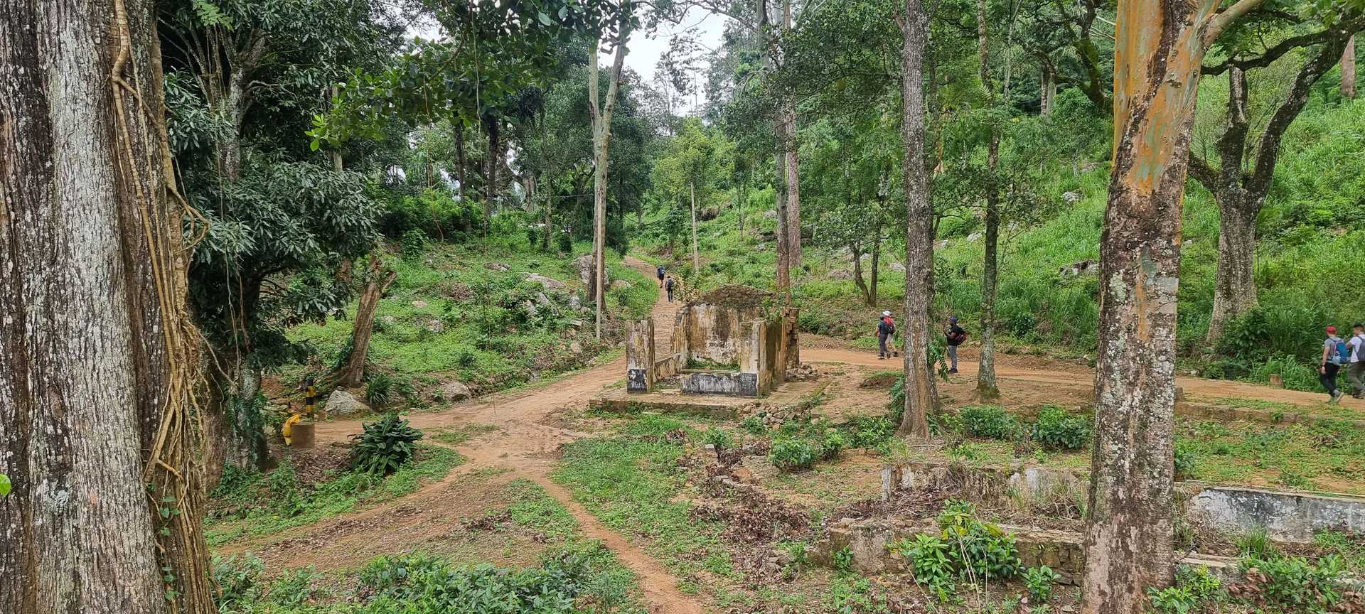
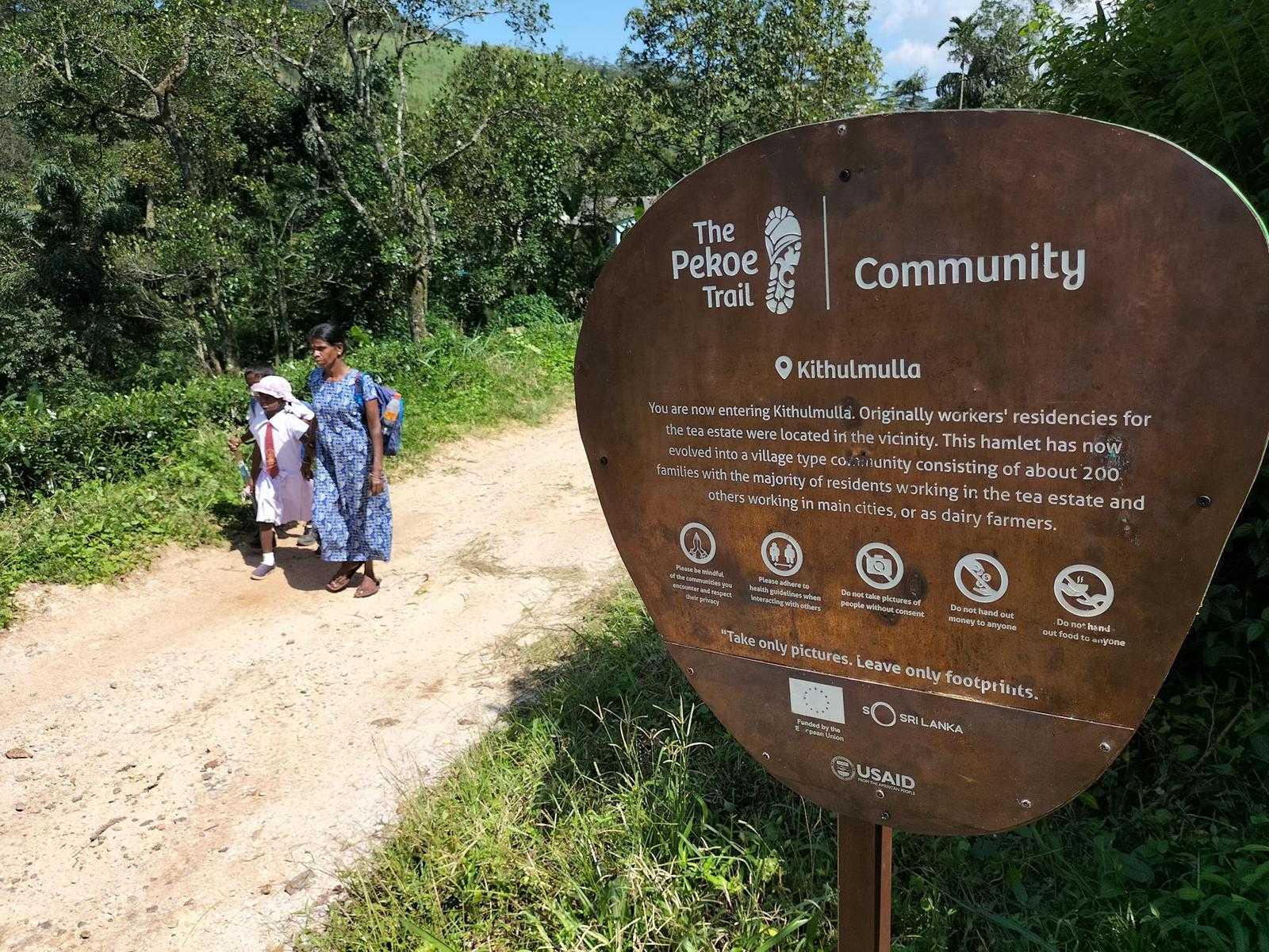
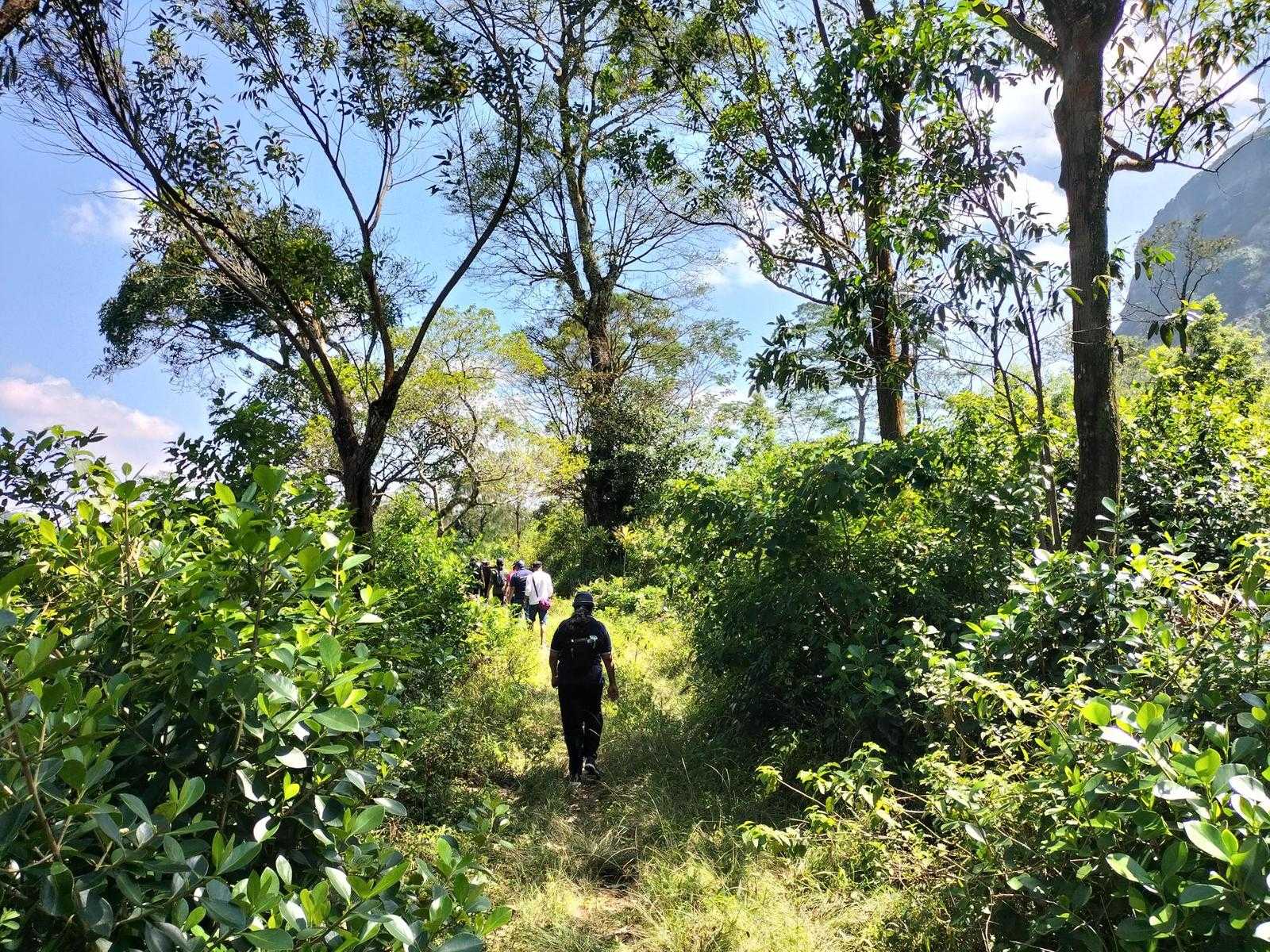
On your descent toward Galaha watch out for a statue of Buddha on top of a rock. At the 10 km point, one walks through a fabulous forest with enormous trees. The last few kilometers before crossing the river as a bit more residential. The trail passes through a few villages and homes.
The crossing of the bridge at the 10.8 km point is the lowest point in the trail at an elevation of 754m. On the other side, you will see a dense pine forest. Here you have the option of taking the steep track up the hill or following the road around the bend. Both ways lead you to the Galaha Road. The end of this stage of the trail is Galaha's Post Office which is only 900 meters away.
-- PLEASE TAKE ALL YOUR RUBBISH WITH YOU AND IF YOU SEE ANY RUBBISH OTHERS LEFT BEHIND TRY TO TAKE IT - EVEN IF JUST A BOTTLE OR A PLASTIC BAG, EVERY BIT COUNTS - THANK YOU.
-----------------
The Pekoe Trail is designed to support development and livelihoods in rural areas of Sri Lanka. Buying goods and services from local businesses helps communities along the trail to thrive.
Stage head to end elevation

Gallery